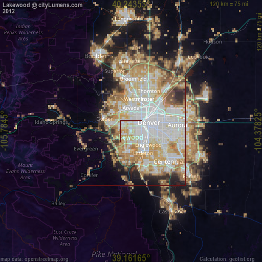
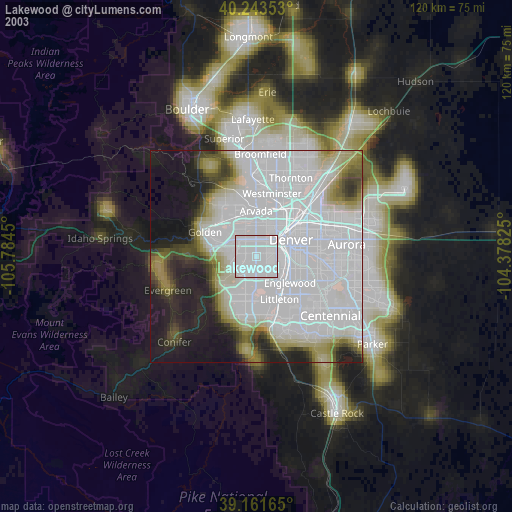
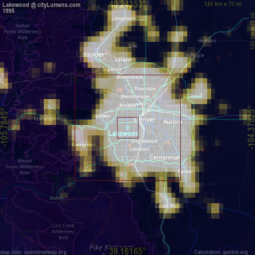
Lakewood night lights from space
Night Light of Lakewood (Colorado) from space (United States) Src. Average luminocity for 10x10km area is 90.6672% and for 50x50km: 55.1346%.
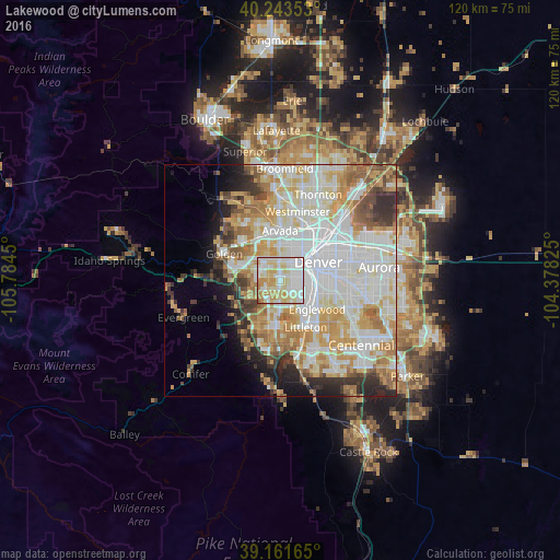
Analysis of Lakewood night lights 2016
Square area 10x10 km:
 34.58%
90-99
25.81%80-89
21.59%70-79
13.47%60-69
3.73%50-59
0.81%40-49
0%30-39
0%20-29
0%10-19
0%0-9
0%Square area 50x50 km:
17.16%90-99
13.72%80-89
7.73%70-79
9.11%60-69
6.27%50-59
4.31%40-49
3.12%30-39
3.8%20-29
4.68%10-19
4.8%0-9
25.3%Clear (daylight) street map image can be seen on geolist.org.
Map coordinates:
40° 14' 36.7" North, 105° 47' 4.2" West
39° 42' 17" North, 105° 4' 52.9" West
39° 9' 41.9" North, 104° 22' 41.7" West
Some cities around Lakewood sort by population:
• Denver
9.1 km =5.7 mi,  65°
65°
• Arvada
10.9 km =6.8 mi,  357°
357°
• Littleton
11.6 km =7.2 mi,  151°
151°
• Englewood
10.2 km =6.3 mi,  128°
128°
• Wheat Ridge
6.8 km =4.2 mi,  2°
2°
• Applewood
9.1 km =5.7 mi,  310°
310°
• Sheridan
8 km =5 mi,  143°
143°
• Edgewater
5.6 km =3.5 mi,  15°
15°
5427946 (p: 152,597)
Sources (retrieved 2019-11-25):
» NASA, Earths city lights 1995
» NASA city lights 2003
» Earth at Night: Flat Maps 2012, 2016