Lake Ridge night lights from space
Night Light of Lake Ridge (Virginia) from space (United States) Src. Average luminocity for 10x10km area is 73% and for 50x50km: 49.5203%.
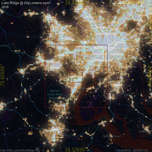
Analysis of Lake Ridge night lights 2016
Square area 10x10 km:
 15.82%
90-99
14.63%80-89
9.86%70-79
14.8%60-69
20.92%50-59
7.14%40-49
6.8%30-39
7.14%20-29
2.89%10-19
0%0-9
0%Square area 50x50 km:
11.62%90-99
10.58%80-89
6.58%70-79
8.17%60-69
8.29%50-59
5.41%40-49
4.75%30-39
5.44%20-29
8.09%10-19
8.84%0-9
22.23%Clear (daylight) street map image can be seen on geolist.org.
Map coordinates:
39° 14' 4.6" North, 78° 0' 3.2" West
38° 41' 16.4" North, 77° 17' 51.9" West
38° 8' 13.1" North, 76° 35' 40.7" West
Some cities around Lake Ridge sort by population:
• Dale City
5.8 km =3.6 mi,  191°
191°
• Burke
12 km =7.5 mi,  10°
10°
• West Springfield
11.5 km =7.1 mi,  35°
35°
• Montclair
9.3 km =5.8 mi,  203°
203°
• Lorton
6.3 km =3.9 mi,  73°
73°
• Newington
11.3 km =7 mi,  60°
60°
• Laurel Hill
6.2 km =3.9 mi, 58°
• Potomac Mills
4.7 km =2.9 mi,  176°
176°
4768351 (p: 41,058)
Sources (retrieved 2019-11-25):
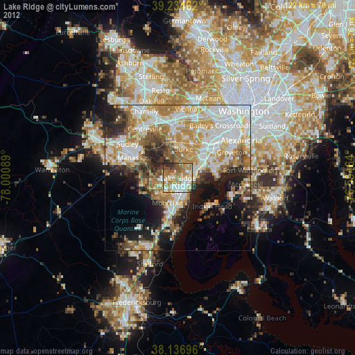
» Earth at Night: Flat Maps 2012, 2016