La Porte night lights from space
Night Light of La Porte (Indiana) from space (United States) Src. Average luminocity for 10x10km area is 33.6948% and for 50x50km: 7.9518%.
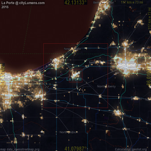
Analysis of La Porte night lights 2016
Square area 10x10 km:
 4.87%
4.87%90-99
6.49%80-89
3.57%70-79
3.73%60-69
5.84%50-59
2.27%40-49
3.73%30-39
5.52%20-29
9.58%10-19
35.39%0-9
18.99%Square area 50x50 km:
0.52%90-99
0.78%80-89
1.04%70-79
0.96%60-69
1.05%50-59
1.04%40-49
1.49%30-39
1.61%20-29
2.17%10-19
6.08%0-9
83.26%Clear (daylight) street map image can be seen on geolist.org.
Map coordinates:
42° 7' 52.8" North, 87° 25' 1.3" West
41° 36' 27.9" North, 86° 42' 50" West
41° 4' 47.5" North, 86° 0' 38.8" West
Some cities around La Porte sort by population:
• South Bend
39.5 km =24.5 mi,  77°
77°
• Portage
38.6 km =24 mi,  264°
264°
• Valparaiso
32.5 km =20.2 mi,  242°
242°
• Michigan City
18.7 km =11.6 mi,  306°
306°
• LaPorte
0.8 km =0.5 mi,  293°
293°
• Chesterton
29.1 km =18.1 mi,  270°
270°
• Westville
17.2 km =10.7 mi, 244°
• South Haven
36 km =22.4 mi, 258°
8449910 (p: 21,916)
Sources (retrieved 2019-11-25):
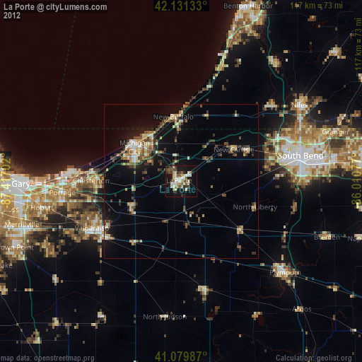
» Earth at Night: Flat Maps 2012, 2016