La Jolla night lights from space
Night Light of La Jolla (California) from space (United States) Src. Average luminocity for 10x10km area is 36.4336% and for 50x50km: 32.4714%.
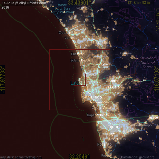
Analysis of La Jolla night lights 2016
Square area 10x10 km:
 6.29%
6.29%90-99
3.5%80-89
1.4%70-79
2.62%60-69
12.41%50-59
16.43%40-49
2.45%30-39
0.17%20-29
8.57%10-19
16.08%0-9
30.07%Square area 50x50 km:
5.63%90-99
5.82%80-89
2.88%70-79
4.78%60-69
10.08%50-59
7.32%40-49
4.19%30-39
2.21%20-29
4.64%10-19
4.8%0-9
47.65%Clear (daylight) street map image can be seen on geolist.org.
Map coordinates:
33° 26' 9.6" North, 117° 58' 38.4" West
32° 50' 50.2" North, 117° 16' 27.1" West
32° 15' 16.6" North, 116° 34' 15.9" West
Some cities around La Jolla sort by population:
• San Diego
17.9 km =11.1 mi,  145°
145°
• Mira Mesa
14.3 km =8.9 mi,  58°
58°
• Encinitas
21.2 km =13.2 mi,  355°
355°
• National City
24.9 km =15.5 mi,  138°
138°
• La Mesa
25.1 km =15.6 mi,  110°
110°
• Rancho Penasquitos
19.4 km =12.1 mi,  49°
49°
• Coronado
19.9 km =12.4 mi, 154°
• Solana Beach
16 km =9.9 mi,  1°
1°
5363943 (p: 42,808)
Sources (retrieved 2019-11-25):
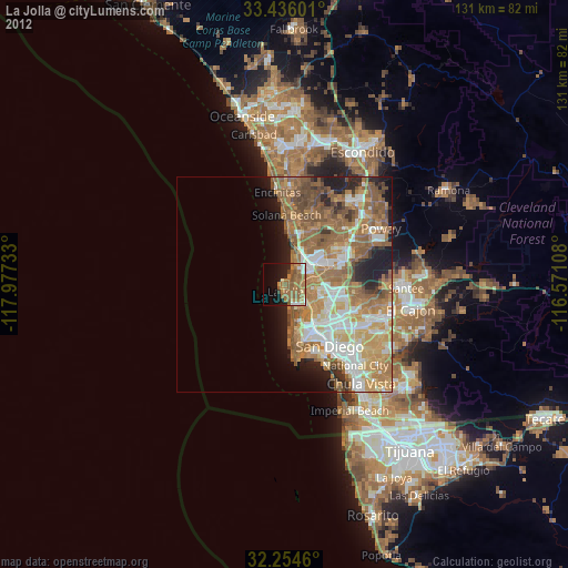
» Earth at Night: Flat Maps 2012, 2016