Rancho Penasquitos night lights from space
Night Light of Rancho Penasquitos (California) from space (United States) Src. Average luminocity for 10x10km area is 64.804% and for 50x50km: 42.0717%.
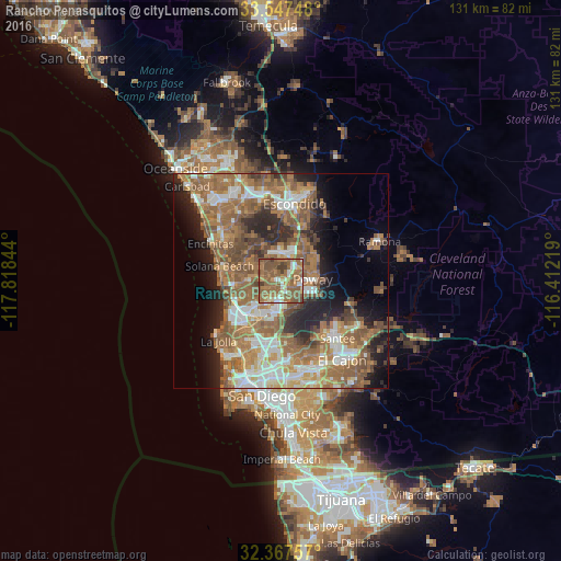
Analysis of Rancho Penasquitos night lights 2016
Square area 10x10 km:
 5.49%
5.49%90-99
7.69%80-89
4.58%70-79
6.04%60-69
30.22%50-59
34.98%40-49
8.61%30-39
2.38%20-29
0%10-19
0%0-9
0%Square area 50x50 km:
6.39%90-99
6.37%80-89
3.11%70-79
4.86%60-69
14.31%50-59
11.87%40-49
6.29%30-39
3.31%20-29
7.21%10-19
8.75%0-9
27.54%Clear (daylight) street map image can be seen on geolist.org.
Map coordinates:
33° 32' 50.9" North, 117° 49' 6.4" West
32° 57' 34.2" North, 117° 6' 55.1" West
32° 22' 3.3" North, 116° 24' 43.9" West
Some cities around Rancho Penasquitos sort by population:
• Escondido
18 km =11.2 mi,  8°
8°
• Mira Mesa
5.6 km =3.5 mi,  208°
208°
• Encinitas
18.6 km =11.6 mi,  297°
297°
• Santee
18.9 km =11.7 mi,  135°
135°
• Poway
7.4 km =4.6 mi,  87°
87°
• La Jolla
19.4 km =12.1 mi,  229°
229°
• Solana Beach
15 km =9.3 mi,  283°
283°
• Eucalyptus Hills
18.1 km =11.2 mi,  119°
119°
5386039 (p: 60,000)
Sources (retrieved 2019-11-25):
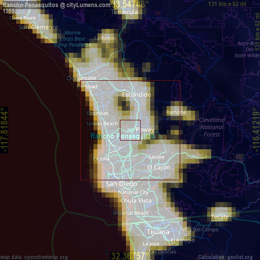
» NASA, Earths city lights 1995
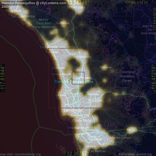
» NASA city lights 2003
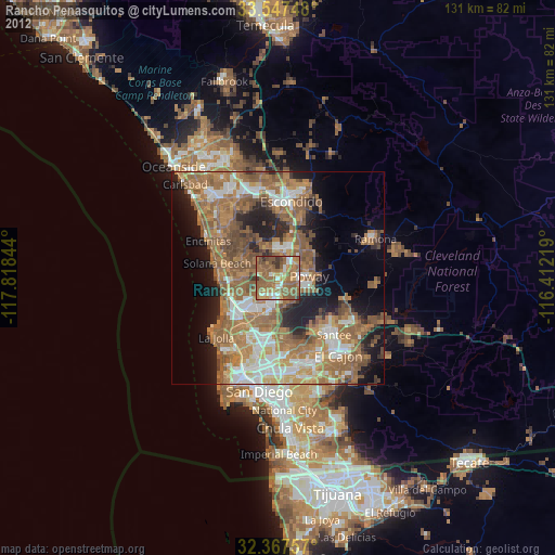
» Earth at Night: Flat Maps 2012, 2016