South Miami night lights from space
Night Light of South Miami (Florida) from space (United States) Src. Average luminocity for 10x10km area is 92.5758% and for 50x50km: 52.8517%.
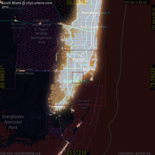
Analysis of South Miami night lights 2016
Square area 10x10 km:
 57.58%
90-99
22.16%80-89
7.95%70-79
1.89%60-69
3.03%50-59
2.46%40-49
3.03%30-39
1.7%20-29
0.19%10-19
0%0-9
0%Square area 50x50 km:
25.1%90-99
9.48%80-89
2.52%70-79
3.27%60-69
9.03%50-59
4.97%40-49
4.38%30-39
3.56%20-29
4.14%10-19
5.91%0-9
27.63%Clear (daylight) street map image can be seen on geolist.org.
Map coordinates:
26° 20' 21.9" North, 80° 59' 47.4" West
25° 42' 27.4" North, 80° 17' 36.2" West
25° 4' 20.6" North, 79° 35' 24.9" West
Some cities around South Miami sort by population:
• Kendall
4 km =2.5 mi,  217°
217°
• Coral Gables
2.9 km =1.8 mi,  58°
58°
• Coral Terrace
4.4 km =2.7 mi,  345°
345°
• Coconut Grove
3.7 km =2.3 mi,  81°
81°
• Pinecrest
4.7 km =2.9 mi,  198°
198°
• Glenvar Heights
3.2 km =2 mi,  270°
270°
• Sunset
5.9 km =3.7 mi, 268°
• West Miami
6.2 km =3.9 mi,  357°
357°
4173495 (p: 12,242)
Sources (retrieved 2019-11-25):
» Earth at Night: Flat Maps 2012, 2016