Greensboro night lights from space
Night Light of Greensboro (North Carolina) from space (United States) Src. Average luminocity for 10x10km area is 96.6575% and for 50x50km: 41.443%.
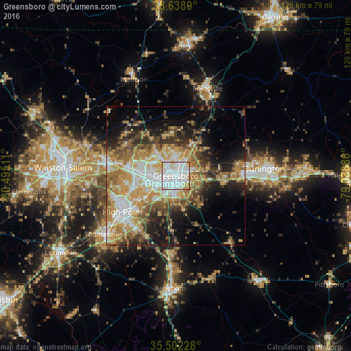
Analysis of Greensboro night lights 2016
Square area 10x10 km:
 51.1%
51.1%90-99
34.43%80-89
9.89%70-79
4.21%60-69
0.37%50-59
0%40-49
0%30-39
0%20-29
0%10-19
0%0-9
0%Square area 50x50 km:
7.45%90-99
7.11%80-89
7.02%70-79
7.44%60-69
6.73%50-59
5.42%40-49
5.14%30-39
6.09%20-29
6.35%10-19
11.2%0-9
30.04%Clear (daylight) street map image can be seen on geolist.org.
Map coordinates:
36° 38' 20" North, 80° 29' 42.4" West
36° 4' 21.5" North, 79° 47' 31.1" West
35° 30' 8.2" North, 79° 5' 19.9" West
Some cities around Greensboro sort by population:
• High Point
23.2 km =14.4 mi,  235°
235°
• Kernersville
25.8 km =16 mi,  281°
281°
• Archdale
23.9 km =14.9 mi,  222°
222°
• Summerfield
18.2 km =11.3 mi,  326°
326°
• Elon
25.9 km =16.1 mi,  82°
82°
• Gibsonville
22.7 km =14.1 mi, 80°
• Oak Ridge
20.9 km =13 mi,  302°
302°
• Stokesdale
24.9 km =15.5 mi,  317°
317°
4469146 (p: 285,342)
Sources (retrieved 2019-11-25):
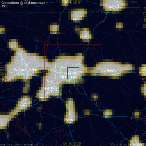
» NASA, Earths city lights 1995
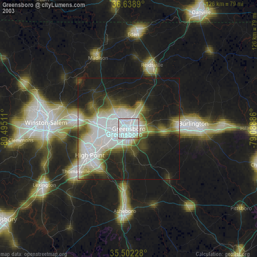
» NASA city lights 2003
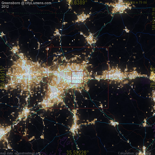
» Earth at Night: Flat Maps 2012, 2016