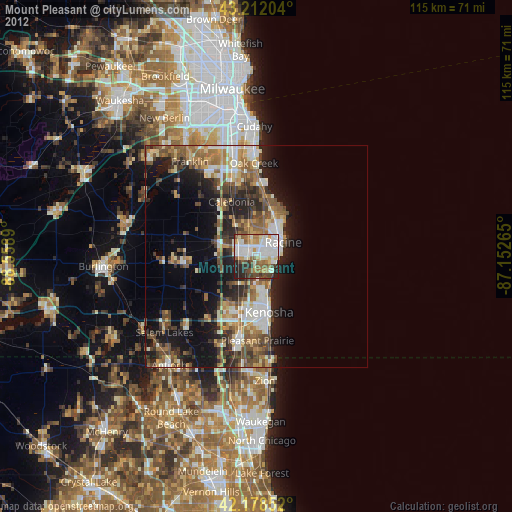
Mount Pleasant night lights from space
Night Light of Mount Pleasant (Wisconsin) from space (United States) Src. Average luminocity for 10x10km area is 67.6439% and for 50x50km: 22.8454%.
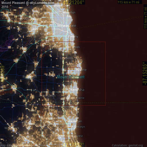
Analysis of Mount Pleasant night lights 2016
Square area 10x10 km:
 18.33%
90-99
18.94%80-89
5.15%70-79
6.36%60-69
10.61%50-59
8.18%40-49
9.39%30-39
8.03%20-29
13.94%10-19
1.06%0-9
0%Square area 50x50 km:
3.47%90-99
3.61%80-89
2.25%70-79
2.6%60-69
3.67%50-59
4.27%40-49
4.06%30-39
3.99%20-29
7.68%10-19
10.67%0-9
53.75%Clear (daylight) street map image can be seen on geolist.org.
Map coordinates:
43° 12' 43.3" North, 88° 33' 32" West
42° 41' 50.7" North, 87° 51' 20.8" West
42° 10' 42.7" North, 87° 9' 9.5" West
Some cities around Mount Pleasant sort by population:
• Kenosha
12.8 km =8 mi,  167°
167°
• Racine
6.8 km =4.2 mi,  61°
61°
• Oak Creek
21 km =13 mi,  358°
358°
• Caledonia
13.5 km =8.4 mi,  335°
335°
• South Milwaukee
23.7 km =14.7 mi, 359°
• Pleasant Prairie
17.3 km =10.7 mi,  201°
201°
• Somers
7.8 km =4.8 mi,  215°
215°
• Sturtevant
3.2 km =2 mi,  271°
271°
8478941 (p: 26,272)
Sources (retrieved 2019-11-25):
» Earth at Night: Flat Maps 2012, 2016