Kendall night lights from space
Night Light of Kendall (Florida) from space (United States) Src. Average luminocity for 10x10km area is 92.8996% and for 50x50km: 51.3559%.
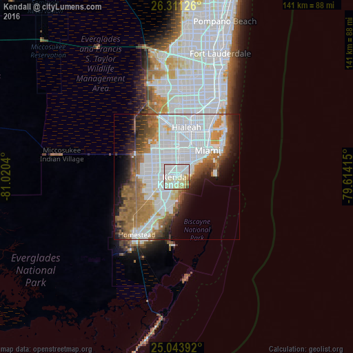

Analysis of Kendall night lights 2016
Square area 10x10 km:
 45.08%
90-99
30.87%80-89
13.07%70-79
3.79%60-69
4.36%50-59
0.95%40-49
1.14%30-39
0.57%20-29
0.19%10-19
0%0-9
0%Square area 50x50 km:
23.56%90-99
9.46%80-89
2.45%70-79
2.9%60-69
9.21%50-59
5.1%40-49
4.32%30-39
3.7%20-29
4.27%10-19
7.04%0-9
27.99%Clear (daylight) street map image can be seen on geolist.org.
Map coordinates:
26° 18' 40.5" North, 81° 1' 13.4" West
25° 40' 45.4" North, 80° 19' 2.2" West
25° 2' 38.1" North, 79° 36' 50.9" West
Some cities around Kendall sort by population:
• Coral Gables
6.8 km =4.2 mi,  46°
46°
• Palmetto Bay
6.4 km =4 mi,  186°
186°
• Coconut Grove
7.1 km =4.4 mi,  58°
58°
• Pinecrest
1.6 km =1 mi,  145°
145°
• Glenvar Heights
3.3 km =2.1 mi,  345°
345°
• Sunset
4.6 km =2.9 mi,  310°
310°
• Olympia Heights
6.5 km =4 mi,  324°
324°
• South Miami
4 km =2.5 mi,  37°
37°
4160711 (p: 75,371)
Sources (retrieved 2019-11-25):
» NASA, Earths city lights 1995
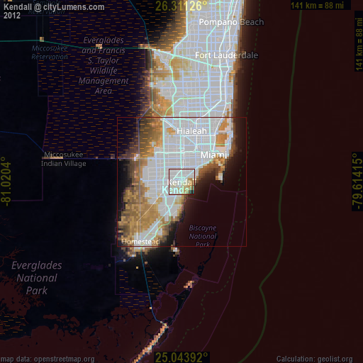
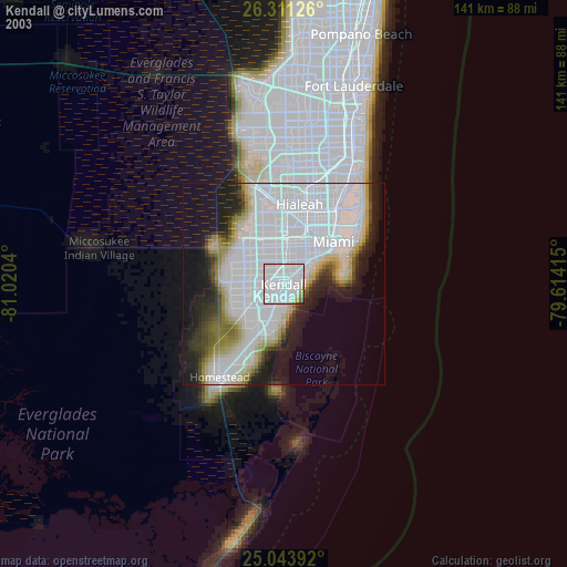
» NASA city lights 2003
» Earth at Night: Flat Maps 2012, 2016