East Orange night lights from space
Night Light of East Orange (New Jersey) from space (United States) Src. Average luminocity for 10x10km area is 98.8588% and for 50x50km: 83.1374%.
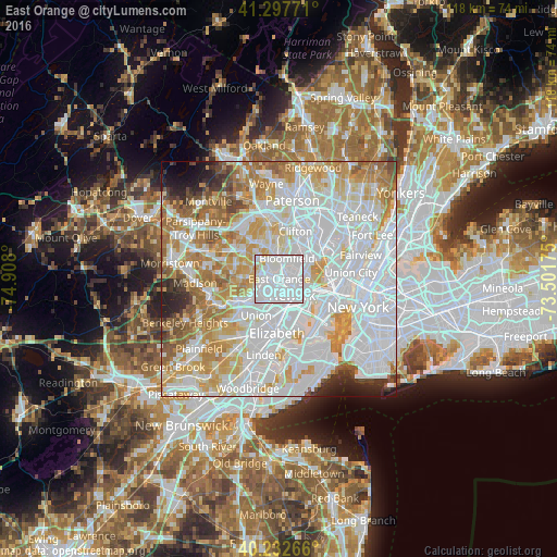
Analysis of East Orange night lights 2016
Square area 10x10 km:
 70.13%
90-99
25.65%80-89
3.25%70-79
0.97%60-69
0%50-59
0%40-49
0%30-39
0%20-29
0%10-19
0%0-9
0%Square area 50x50 km:
37.43%90-99
20.08%80-89
8.91%70-79
10.92%60-69
8.3%50-59
4.26%40-49
2.41%30-39
2.07%20-29
2.78%10-19
2.01%0-9
0.83%Clear (daylight) street map image can be seen on geolist.org.
Map coordinates:
41° 17' 51.8" North, 74° 54' 28.8" West
40° 46' 2.4" North, 74° 12' 17.5" West
40° 13' 57.6" North, 73° 30' 6.3" West
Some cities around East Orange sort by population:
• Newark
4.5 km =2.8 mi,  142°
142°
• Irvington
4.6 km =2.9 mi,  212°
212°
• Bloomfield
4.7 km =2.9 mi,  20°
20°
• West Orange
4.5 km =2.8 mi,  320°
320°
• Kearny
5 km =3.1 mi,  88°
88°
• Orange
2.4 km =1.5 mi,  279°
279°
• Harrison
4.7 km =2.9 mi,  119°
119°
• Glen Ridge
4.2 km =2.6 mi,  1°
1°
5097441 (p: 64,949)
Sources (retrieved 2019-11-25):
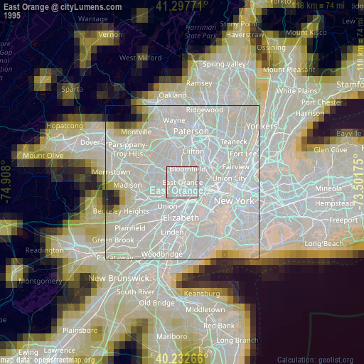
» NASA, Earths city lights 1995
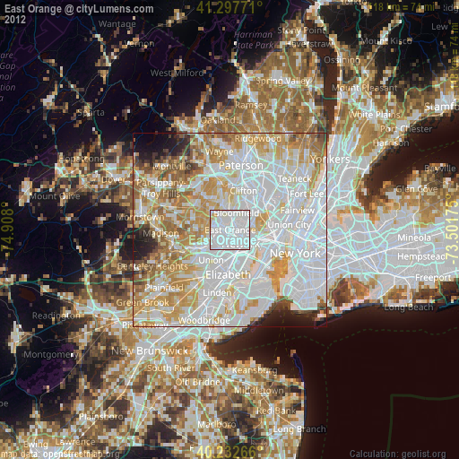
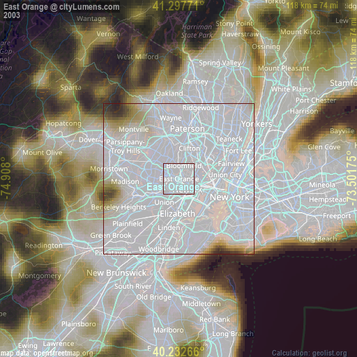
» NASA city lights 2003
» Earth at Night: Flat Maps 2012, 2016