Joliet night lights from space
Night Light of Joliet (Illinois) from space (United States) Src. Average luminocity for 10x10km area is 86.0748% and for 50x50km: 53.613%.

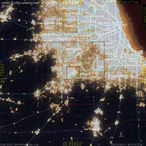
Analysis of Joliet night lights 2016
Square area 10x10 km:
 25.85%
90-99
27.89%80-89
10.88%70-79
16.67%60-69
14.29%50-59
4.25%40-49
0.17%30-39
0%20-29
0%10-19
0%0-9
0%Square area 50x50 km:
9.88%90-99
11.77%80-89
9.78%70-79
9.85%60-69
10.23%50-59
7.26%40-49
3.82%30-39
3.48%20-29
5.5%10-19
9.89%0-9
18.53%Clear (daylight) street map image can be seen on geolist.org.
Map coordinates:
42° 2' 58" North, 88° 47' 11.5" West
41° 31' 30.7" North, 88° 5' 0.2" West
40° 59' 47.9" North, 87° 22' 49" West
Some cities around Joliet sort by population:
• Plainfield
15.1 km =9.4 mi,  318°
318°
• Romeoville
13.6 km =8.5 mi,  357°
357°
• New Lenox
9.9 km =6.2 mi,  98°
98°
• Lockport
7.5 km =4.7 mi,  16°
16°
• Homer Glen
14.7 km =9.1 mi,  55°
55°
• Crest Hill
3.5 km =2.2 mi,  338°
338°
• Shorewood
9.9 km =6.2 mi,  266°
266°
• Manhattan
14 km =8.7 mi,  144°
144°
4898015 (p: 147,861)
Sources (retrieved 2019-11-25):
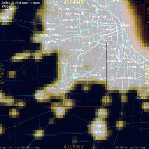
» NASA, Earths city lights 1995
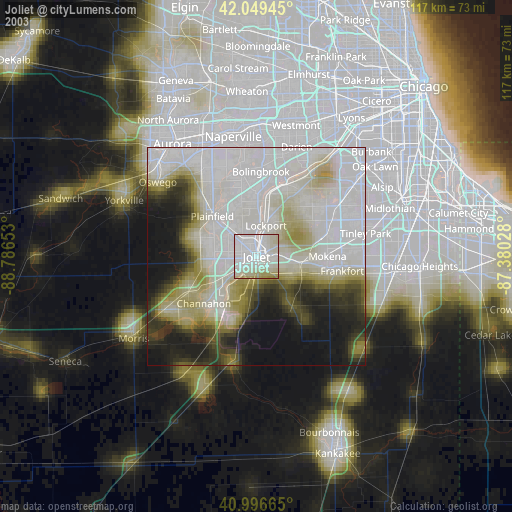
» NASA city lights 2003
» Earth at Night: Flat Maps 2012, 2016