Homer Glen night lights from space
Night Light of Homer Glen (Illinois) from space (United States) Src. Average luminocity for 10x10km area is 66.4237% and for 50x50km: 75.6064%.
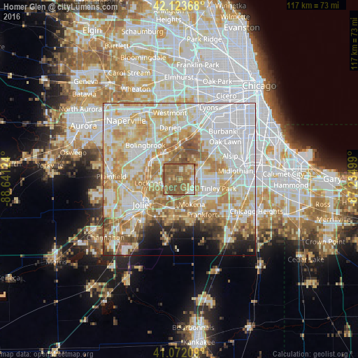
Analysis of Homer Glen night lights 2016
Square area 10x10 km:
 4.06%
4.06%90-99
6.66%80-89
10.23%70-79
9.58%60-69
25.49%50-59
41.88%40-49
2.11%30-39
0%20-29
0%10-19
0%0-9
0%Square area 50x50 km:
24.89%90-99
18.36%80-89
12.58%70-79
11.64%60-69
10.11%50-59
6.85%40-49
2.68%30-39
2.05%20-29
2.8%10-19
3.74%0-9
4.29%Clear (daylight) street map image can be seen on geolist.org.
Map coordinates:
42° 7' 25.2" North, 88° 38' 28.5" West
41° 36' 0.1" North, 87° 56' 17.2" West
41° 4' 19.5" North, 87° 14' 6" West
Some cities around Homer Glen sort by population:
• Orland Park
7.8 km =4.8 mi,  64°
64°
• Tinley Park
13.1 km =8.1 mi,  103°
103°
• New Lenox
10.1 km =6.3 mi,  193°
193°
• Lockport
10 km =6.2 mi,  263°
263°
• Mokena
9.2 km =5.7 mi,  153°
153°
• Goodings Grove
3.3 km =2.1 mi,  10°
10°
• Lemont
9.7 km =6 mi,  327°
327°
• Orland Hills
8.1 km =5 mi, 101°
4896336 (p: 24,395)
Sources (retrieved 2019-11-25):
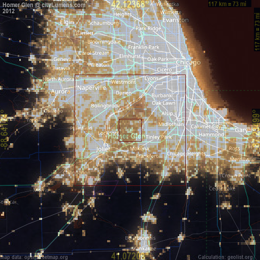
» Earth at Night: Flat Maps 2012, 2016