Plainfield night lights from space
Night Light of Plainfield (Illinois) from space (United States) Src. Average luminocity for 10x10km area is 76.4123% and for 50x50km: 60.3401%.
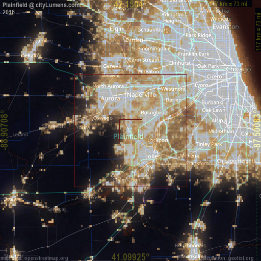
Analysis of Plainfield night lights 2016
Square area 10x10 km:
 11.53%
90-99
16.23%80-89
15.42%70-79
24.35%60-69
19.32%50-59
4.38%40-49
2.27%30-39
6.01%20-29
0.49%10-19
0%0-9
0%Square area 50x50 km:
12.31%90-99
14.07%80-89
11.65%70-79
11.58%60-69
10.09%50-59
7.34%40-49
3.63%30-39
3.54%20-29
5.12%10-19
7%0-9
13.66%Clear (daylight) street map image can be seen on geolist.org.
Map coordinates:
42° 9' 1.4" North, 88° 54' 25.5" West
41° 37' 37.1" North, 88° 12' 14.2" West
41° 5' 57.3" North, 87° 30' 3" West
Some cities around Plainfield sort by population:
• Joliet
15.1 km =9.4 mi,  138°
138°
• Bolingbrook
13.8 km =8.6 mi,  54°
54°
• Romeoville
9.8 km =6.1 mi,  76°
76°
• Oswego
13.7 km =8.5 mi,  296°
296°
• Lockport
12.8 km =8 mi,  108°
108°
• Crest Hill
11.9 km =7.4 mi,  132°
132°
• Shorewood
11.9 km =7.4 mi,  179°
179°
• Boulder Hill
14.5 km =9 mi,  310°
310°
4906125 (p: 42,527)
Sources (retrieved 2019-11-25):
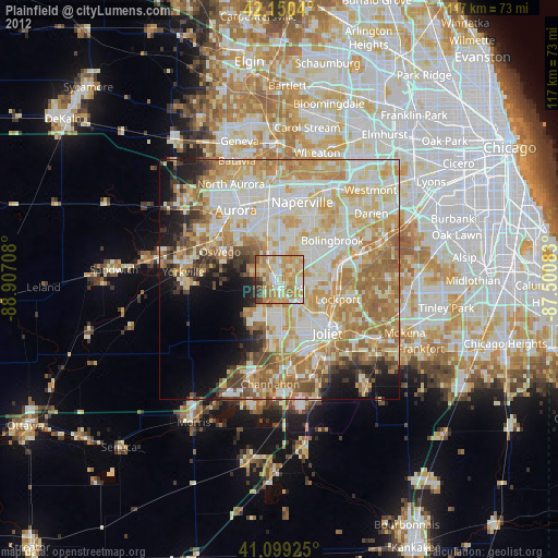
» Earth at Night: Flat Maps 2012, 2016