Milton night lights from space
Night Light of Milton (Georgia) from space (United States) Src. Average luminocity for 10x10km area is 74.3718% and for 50x50km: 67.229%.
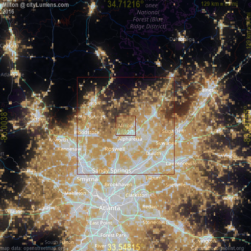
Analysis of Milton night lights 2016
Square area 10x10 km:
 8.79%
8.79%90-99
12.27%80-89
10.99%70-79
22.89%60-69
33.15%50-59
9.71%40-49
1.65%30-39
0.37%20-29
0.18%10-19
0%0-9
0%Square area 50x50 km:
13.7%90-99
13.58%80-89
15.49%70-79
16.28%60-69
9.94%50-59
5.64%40-49
4.49%30-39
4.59%20-29
4.49%10-19
5.12%0-9
6.69%Clear (daylight) street map image can be seen on geolist.org.
Map coordinates:
34° 42' 43.8" North, 85° 0' 13.7" West
34° 7' 55.8" North, 84° 18' 2.4" West
33° 32' 53.3" North, 83° 35' 51.2" West
Some cities around Milton sort by population:
• Roswell
13.4 km =8.3 mi,  204°
204°
• Johns Creek
14.8 km =9.2 mi,  140°
140°
• Alpharetta
6.3 km =3.9 mi,  174°
174°
• Peachtree Corners
19.4 km =12.1 mi,  157°
157°
• Woodstock
20.4 km =12.7 mi,  260°
260°
• Duluth
20.3 km =12.6 mi, 135°
• Holly Springs
19 km =11.8 mi,  284°
284°
• Cumming
17 km =10.6 mi,  60°
60°
6331908 (p: 37,547)
Sources (retrieved 2019-11-25):
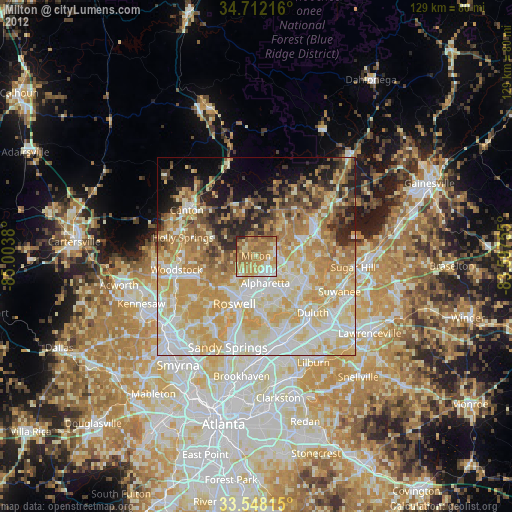
» Earth at Night: Flat Maps 2012, 2016