North Miami Beach night lights from space
Night Light of North Miami Beach (Florida) from space (United States) Src. Average luminocity for 10x10km area is 95.6004% and for 50x50km: 58.6069%.
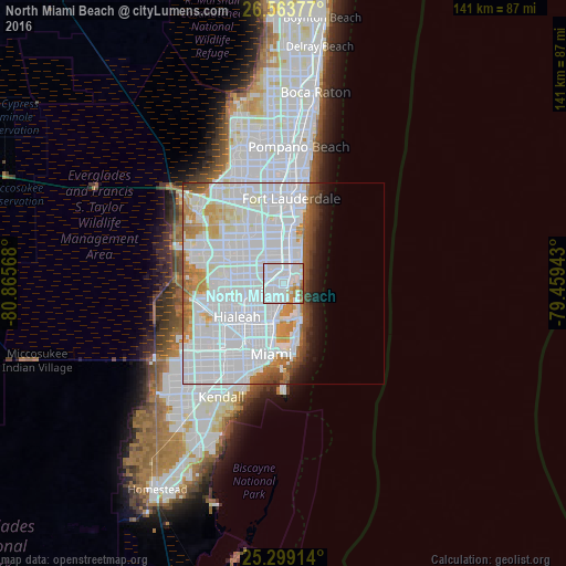
Analysis of North Miami Beach night lights 2016
Square area 10x10 km:
 71.78%
90-99
14.58%80-89
2.08%70-79
4.92%60-69
4.36%50-59
2.27%40-49
0%30-39
0%20-29
0%10-19
0%0-9
0%Square area 50x50 km:
35.35%90-99
12.35%80-89
2.7%70-79
3.53%60-69
3.77%50-59
2.13%40-49
2.52%30-39
1.51%20-29
1.57%10-19
3.39%0-9
31.17%Clear (daylight) street map image can be seen on geolist.org.
Map coordinates:
26° 33' 49.6" North, 80° 51' 56.4" West
25° 55' 59.3" North, 80° 9' 45.2" West
25° 17' 56.9" North, 79° 27' 33.9" West
Some cities around North Miami Beach sort by population:
• Hallandale Beach
5.5 km =3.4 mi,  14°
14°
• Aventura
3.5 km =2.2 mi,  41°
41°
• Golden Glades
4.5 km =2.8 mi,  237°
237°
• Norland
5.3 km =3.3 mi,  289°
289°
• Sunny Isles Beach
4.4 km =2.7 mi,  63°
63°
• Ives Estates
3.5 km =2.2 mi,  336°
336°
• Ojus
2.1 km =1.3 mi, 35°
• Lake Forest
5.4 km =3.4 mi, 337°
4166233 (p: 43,971)
Sources (retrieved 2019-11-25):
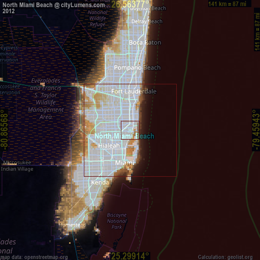
» Earth at Night: Flat Maps 2012, 2016