Issaquah night lights from space
Night Light of Issaquah (Washington) from space (United States) Src. Average luminocity for 10x10km area is 34.125% and for 50x50km: 36.614%.
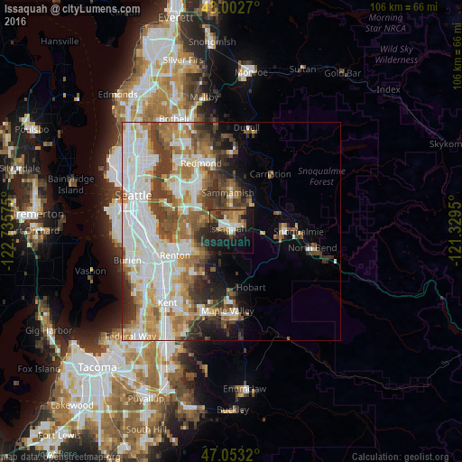
Analysis of Issaquah night lights 2016
Square area 10x10 km:
 3.98%
3.98%90-99
4.97%80-89
4.26%70-79
3.27%60-69
6.53%50-59
6.11%40-49
5.4%30-39
2.27%20-29
13.21%10-19
32.53%0-9
17.47%Square area 50x50 km:
10.43%90-99
8.5%80-89
3.14%70-79
4.42%60-69
5.4%50-59
4.35%40-49
4.55%30-39
4.91%20-29
4.37%10-19
5.25%0-9
44.69%Clear (daylight) street map image can be seen on geolist.org.
Map coordinates:
48° 0' 9.7" North, 122° 44' 8.7" West
47° 31' 48.4" North, 122° 1' 57.4" West
47° 3' 11.5" North, 121° 19' 46.2" West
Some cities around Issaquah sort by population:
• Sammamish
12.9 km =8 mi,  343°
343°
• City of Sammamish
8.3 km =5.2 mi,  357°
357°
• West Lake Sammamish
7.4 km =4.6 mi,  315°
315°
• Fairwood
13 km =8.1 mi,  225°
225°
• Newcastle
9.3 km =5.8 mi,  276°
276°
• East Renton Highlands
7.8 km =4.8 mi, 229°
• Klahanie
4.9 km =3 mi,  21°
21°
• Hobart
12.9 km =8 mi,  159°
159°
5798487 (p: 36,081)
Sources (retrieved 2019-11-25):
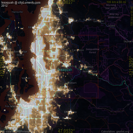
» Earth at Night: Flat Maps 2012, 2016