Newport Beach night lights from space
Night Light of Newport Beach (California) from space (United States) Src. Average luminocity for 10x10km area is 58.467% and for 50x50km: 43.5774%.
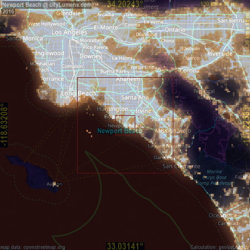
Analysis of Newport Beach night lights 2016
Square area 10x10 km:
 11.9%
11.9%90-99
19.05%80-89
9.34%70-79
8.24%60-69
5.49%50-59
3.11%40-49
2.56%30-39
3.3%20-29
18.32%10-19
13.19%0-9
5.49%Square area 50x50 km:
15.55%90-99
12.06%80-89
4.03%70-79
4.26%60-69
5.43%50-59
3.85%40-49
3.05%30-39
1.96%20-29
3.85%10-19
5.66%0-9
40.3%Clear (daylight) street map image can be seen on geolist.org.
Map coordinates:
34° 12' 8.7" North, 118° 37' 55.5" West
33° 37' 8.1" North, 117° 55' 44.2" West
33° 1' 53.1" North, 117° 13' 33" West
Some cities around Newport Beach sort by population:
• Santa Ana
15.2 km =9.4 mi,  21°
21°
• Irvine
11.3 km =7 mi,  60°
60°
• Huntington Beach
8 km =5 mi,  305°
305°
• Costa Mesa
2.6 km =1.6 mi, 21°
• Tustin
17 km =10.6 mi,  33°
33°
• Fountain Valley
10.3 km =6.4 mi,  347°
347°
• Laguna Beach
16 km =9.9 mi,  122°
122°
• Midway City
15.1 km =9.4 mi,  338°
338°
5376890 (p: 87,127)
Sources (retrieved 2019-11-25):
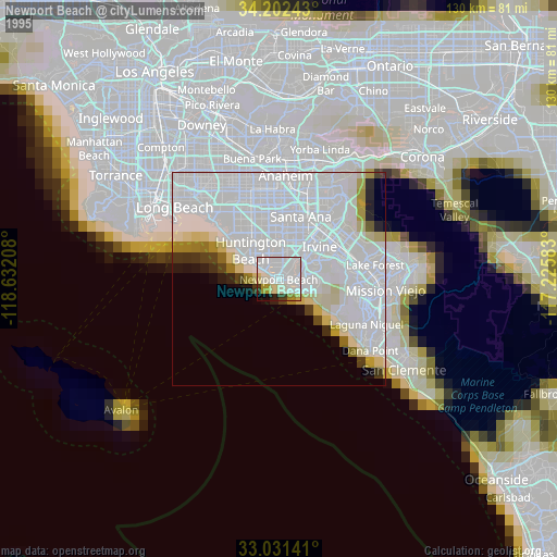
» NASA, Earths city lights 1995
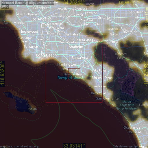
» NASA city lights 2003
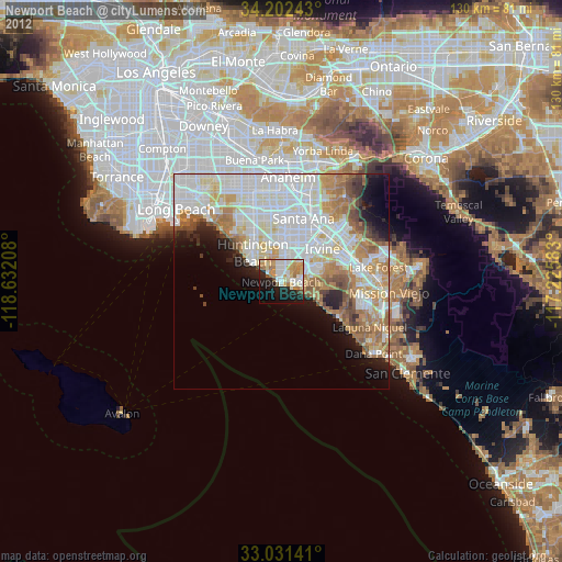
» Earth at Night: Flat Maps 2012, 2016