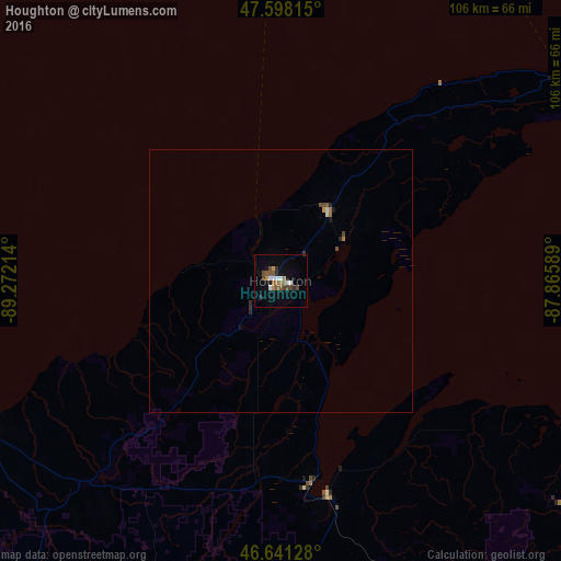
Houghton night lights from space
Night Light of Houghton (Michigan) from space (United States) Src. Average luminocity for 10x10km area is 14.3338% and for 50x50km: 0.8502%.
Analysis of Houghton night lights 2016
Square area 10x10 km:
 2.13%
2.13%90-99
1.85%80-89
0%70-79
1.28%60-69
1.28%50-59
4.97%40-49
3.84%30-39
0.43%20-29
2.13%10-19
3.13%0-9
78.98%Square area 50x50 km:
0.09%90-99
0.09%80-89
0.04%70-79
0.07%60-69
0.13%50-59
0.25%40-49
0.23%30-39
0.04%20-29
0.21%10-19
0.18%0-9
98.69%Clear (daylight) street map image can be seen on geolist.org.
Map coordinates:
47° 35' 53.3" North, 89° 16' 19.7" West
47° 7' 18.7" North, 88° 34' 8.4" West
46° 38' 28.6" North, 87° 51' 57.2" West
Some cities around Houghton sort by population:
• Thunder Bay, CA
149.1 km =92.6 mi,  340°
340°
• Marquette
110 km =68.4 mi,  125°
125°
• Rhinelander
177.4 km =110.2 mi,  201°
201°
• Iron Mountain
149.8 km =93.1 mi,  165°
165°
• Ishpeming
98.3 km =61.1 mi,  135°
135°
• Kingsford
152.4 km =94.7 mi, 165°
• Ironwood
142.7 km =88.7 mi,  238°
238°
• Iron River
114.6 km =71.2 mi,  182°
182°
4996572 (p: 7,970)
Sources (retrieved 2019-11-25):
» Earth at Night: Flat Maps 2012, 2016