Iron River night lights from space
Night Light of Iron River (Michigan) from space (United States) Src. Average luminocity for 10x10km area is 3.8864% and for 50x50km: 0.2286%.
Analysis of Iron River night lights 2016
Square area 10x10 km:
 0.43%
0.43%90-99
0.14%80-89
0%70-79
0.43%60-69
0.57%50-59
1.28%40-49
1.56%30-39
0.71%20-29
1.7%10-19
0.57%0-9
92.61%Square area 50x50 km:
0.02%90-99
0.01%80-89
0%70-79
0.02%60-69
0.04%50-59
0.05%40-49
0.09%30-39
0.1%20-29
0.07%10-19
0.07%0-9
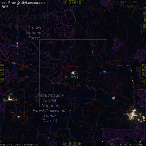
99.53%Clear (daylight) street map image can be seen on geolist.org.
Map coordinates:
46° 34' 41.5" North, 89° 20' 43.7" West
46° 5' 33.8" North, 88° 38' 32.5" West
45° 36' 10.7" North, 87° 56' 21.2" West
Some cities around Iron River sort by population:
• Marquette
108.1 km =67.2 mi,  62°
62°
• Escanaba
128 km =79.5 mi,  107°
107°
• Houghton
114.6 km =71.2 mi,  2°
2°
• Antigo
113.1 km =70.3 mi,  200°
200°
• Rhinelander
78.3 km =48.7 mi,  229°
229°
• Ishpeming
86.9 km =54 mi, 59°
• Kingsford
55.1 km =34.2 mi,  126°
126°
• Ironwood
124.2 km =77.2 mi,  288°
288°
4997238 (p: 2,904)
Sources (retrieved 2019-11-25):
» Earth at Night: Flat Maps 2012, 2016