Ironville night lights from space
Night Light of Ironville (Kentucky) from space (United States) Src. Average luminocity for 10x10km area is 58.7224% and for 50x50km: 16.2925%.
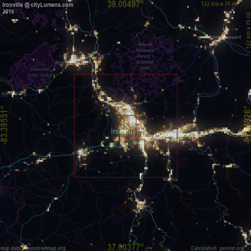
Analysis of Ironville night lights 2016
Square area 10x10 km:
 7.47%
7.47%90-99
11.53%80-89
6.98%70-79
8.44%60-69
13.64%50-59
11.2%40-49
9.42%30-39
17.21%20-29
8.28%10-19
5.84%0-9
0%Square area 50x50 km:
1.59%90-99
2.68%80-89
1.62%70-79
1.72%60-69
2.47%50-59
2.68%40-49
3.29%30-39
3.96%20-29
5.39%10-19
9.13%0-9
65.46%Clear (daylight) street map image can be seen on geolist.org.
Map coordinates:
39° 0' 17.9" North, 83° 23' 43.8" West
38° 27' 23.3" North, 82° 41' 32.6" West
37° 54' 13.6" North, 81° 59' 21.3" West
Some cities around Ironville sort by population:
• Meads
5.1 km =3.2 mi,  196°
196°
• Huntington
21.9 km =13.6 mi,  100°
100°
• Ashland
5.3 km =3.3 mi,  62°
62°
• Portsmouth
40.5 km =25.2 mi,  319°
319°
• Ironton
9 km =5.6 mi,  5°
5°
• Flatwoods
7.7 km =4.8 mi,  343°
343°
• Pea Ridge
32.8 km =20.4 mi, 98°
• Wheelersburg
33.6 km =20.9 mi, 335°
4295940 (p: 288,649)
Sources (retrieved 2019-11-25):
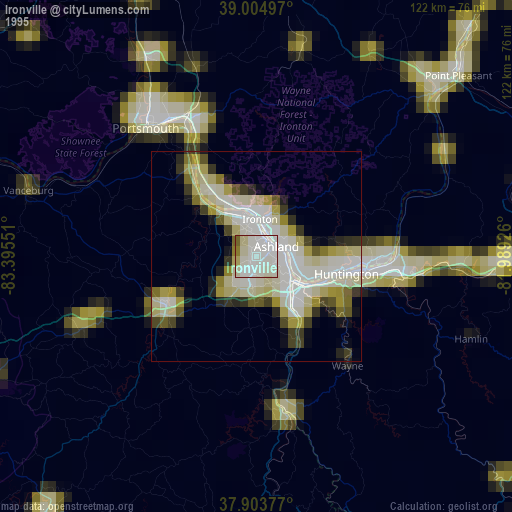
» NASA, Earths city lights 1995
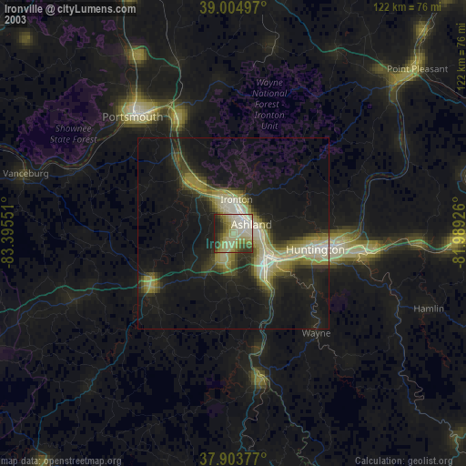
» NASA city lights 2003
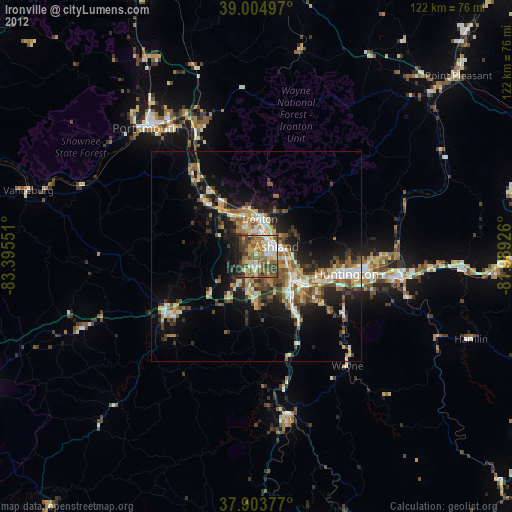
» Earth at Night: Flat Maps 2012, 2016