Portsmouth night lights from space
Night Light of Portsmouth (Ohio) from space (United States) Src. Average luminocity for 10x10km area is 34.1463% and for 50x50km: 6.5338%.
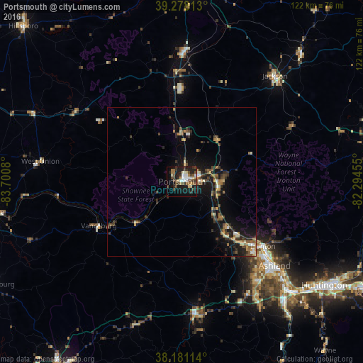
Analysis of Portsmouth night lights 2016
Square area 10x10 km:
 4.25%
4.25%90-99
6.8%80-89
2.72%70-79
1.87%60-69
4.76%50-59
5.27%40-49
10.37%30-39
5.61%20-29
9.18%10-19
26.19%0-9
22.96%Square area 50x50 km:
0.37%90-99
0.84%80-89
0.51%70-79
0.87%60-69
1.03%50-59
0.88%40-49
1.55%30-39
1.31%20-29
1.66%10-19
5.93%0-9
85.06%Clear (daylight) street map image can be seen on geolist.org.
Map coordinates:
39° 16' 41.3" North, 83° 42' 2.9" West
38° 43' 54.3" North, 82° 59' 51.6" West
38° 10' 52.1" North, 82° 17' 40.4" West
Some cities around Portsmouth sort by population:
• Meads
43.5 km =27 mi,  144°
144°
• Ironville
40.5 km =25.2 mi, 139°
• Ashland
42.1 km =26.2 mi,  132°
132°
• Ironton
34.9 km =21.7 mi, 128°
• Flatwoods
33.7 km =20.9 mi, 133°
• Wheelersburg
12.3 km =7.6 mi,  90°
90°
• Jackson
47.4 km =29.5 mi,  41°
41°
• Wellston
59.3 km =36.8 mi, 42°
4521816 (p: 20,409)
Sources (retrieved 2019-11-25):
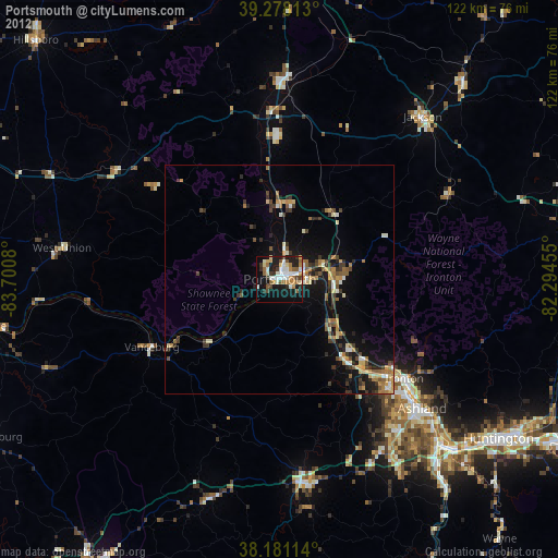
» Earth at Night: Flat Maps 2012, 2016