Huntington night lights from space
Night Light of Huntington (West Virginia) from space (United States) Src. Average luminocity for 10x10km area is 57.2744% and for 50x50km: 16.973%.
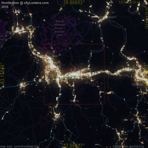
Analysis of Huntington night lights 2016
Square area 10x10 km:
 11.69%
90-99
16.07%80-89
5.84%70-79
5.19%60-69
4.38%50-59
7.79%40-49
9.25%30-39
9.09%20-29
24.19%10-19
6.49%0-9
0%Square area 50x50 km:
1.83%90-99
2.97%80-89
1.83%70-79
1.87%60-69
2.42%50-59
2.97%40-49
3.42%30-39
3.7%20-29
5.56%10-19
8.53%0-9
64.94%Clear (daylight) street map image can be seen on geolist.org.
Map coordinates:
38° 58' 4.9" North, 83° 8' 53.8" West
38° 25' 9.3" North, 82° 26' 42.5" West
37° 51' 58.6" North, 81° 44' 31.3" West
Some cities around Huntington sort by population:
• Meads
23 km =14.3 mi,  268°
268°
• Ironville
21.9 km =13.6 mi,  280°
280°
• Ashland
18 km =11.2 mi,  291°
291°
• Teays Valley
45.1 km =28 mi,  85°
85°
• Ironton
24.5 km =15.2 mi,  302°
302°
• Flatwoods
26.3 km =16.3 mi, 295°
• Pea Ridge
10.9 km =6.8 mi, 93°
• Hurricane
37.1 km =23.1 mi, 87°
4809537 (p: 48,638)
Sources (retrieved 2019-11-25):
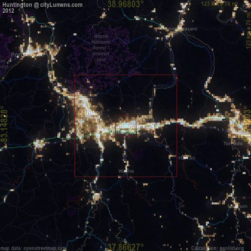
» Earth at Night: Flat Maps 2012, 2016