Texarkana night lights from space
Night Light of Texarkana (Arkansas) from space (United States) Src. Average luminocity for 10x10km area is 82.4441% and for 50x50km: 11.8589%.
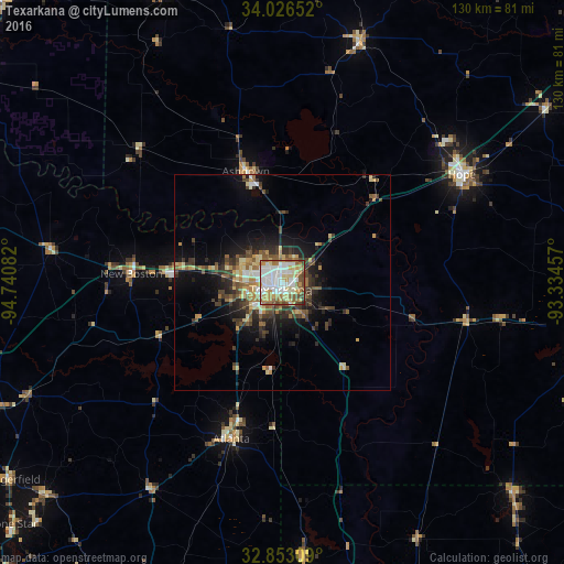
Analysis of Texarkana night lights 2016
Square area 10x10 km:
 23.25%
90-99
24.3%80-89
15.73%70-79
8.74%60-69
10.66%50-59
10.14%40-49
5.94%30-39
1.05%20-29
0.17%10-19
0%0-9
0%Square area 50x50 km:
1.31%90-99
1.71%80-89
2.03%70-79
1.2%60-69
1.7%50-59
2.04%40-49
1.78%30-39
2.79%20-29
2.74%10-19
6.03%0-9
76.67%Clear (daylight) street map image can be seen on geolist.org.
Map coordinates:
34° 1' 35.5" North, 94° 44' 27" West
33° 26' 30.4" North, 94° 2' 15.7" West
32° 51' 11.1" North, 93° 20' 4.5" West
Some cities around Texarkana sort by population:
• Mount Pleasant
92.1 km =57.2 mi,  249°
249°
• Magnolia
76.7 km =47.7 mi,  104°
104°
• Hope
48.3 km =30 mi,  58°
58°
• Idabel
88.7 km =55.1 mi,  304°
304°
• De Queen
72 km =44.7 mi,  337°
337°
• Atlanta
38.3 km =23.8 mi,  197°
197°
• Wake Village
6.6 km =4.1 mi,  255°
255°
• Springhill
71.9 km =44.7 mi,  132°
132°
4133367 (p: 30,353)
Sources (retrieved 2019-11-25):
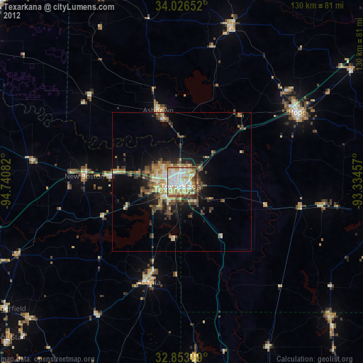
» Earth at Night: Flat Maps 2012, 2016