Texarkana night lights from space
Night Light of Texarkana (Texas) from space (United States) Src. Average luminocity for 10x10km area is 79.9948% and for 50x50km: 11.6953%.
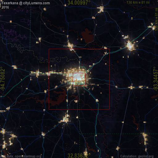
Analysis of Texarkana night lights 2016
Square area 10x10 km:
 22.38%
90-99
23.43%80-89
15.73%70-79
7.87%60-69
9.27%50-59
9.27%40-49
5.59%30-39
3.85%20-29
2.62%10-19
0%0-9
0%Square area 50x50 km:
1.32%90-99
1.72%80-89
1.94%70-79
1.19%60-69
1.67%50-59
1.99%40-49
1.74%30-39
2.73%20-29
2.72%10-19
5.85%0-9
77.12%Clear (daylight) street map image can be seen on geolist.org.
Map coordinates:
34° 0' 35.9" North, 94° 45' 3" West
33° 25' 30.5" North, 94° 2' 51.7" West
32° 50' 10.8" North, 93° 20' 40.5" West
Some cities around Texarkana sort by population:
• Mount Pleasant
90.6 km =56.3 mi,  250°
250°
• Magnolia
77.1 km =47.9 mi,  103°
103°
• Hope
50.1 km =31.1 mi,  57°
57°
• Idabel
89 km =55.3 mi,  305°
305°
• De Queen
73.3 km =45.5 mi,  338°
338°
• Atlanta
36.3 km =22.6 mi,  197°
197°
• Wake Village
5.4 km =3.4 mi,  271°
271°
• Springhill
71.4 km =44.4 mi,  130°
130°
4736096 (p: 37,280)
Sources (retrieved 2019-11-25):
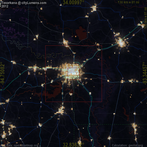
» Earth at Night: Flat Maps 2012, 2016