Wake Village night lights from space
Night Light of Wake Village (Texas) from space (United States) Src. Average luminocity for 10x10km area is 76.5157% and for 50x50km: 12.1326%.
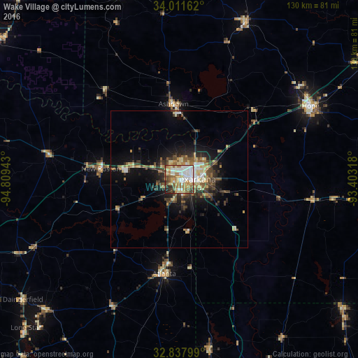
Analysis of Wake Village night lights 2016
Square area 10x10 km:
 18.53%
90-99
21.68%80-89
12.24%70-79
10.14%60-69
13.81%50-59
9.09%40-49
6.82%30-39
2.8%20-29
4.37%10-19
0.52%0-9
0%Square area 50x50 km:
1.35%90-99
1.75%80-89
2.05%70-79
1.23%60-69
1.75%50-59
2.03%40-49
1.74%30-39
2.78%20-29
2.8%10-19
6.32%0-9
76.2%Clear (daylight) street map image can be seen on geolist.org.
Map coordinates:
34° 0' 41.8" North, 94° 48' 33.9" West
33° 25' 36.4" North, 94° 6' 22.7" West
32° 50' 16.8" North, 93° 24' 11.4" West
Some cities around Wake Village sort by population:
• Texarkana
5.4 km =3.4 mi,  91°
91°
• Texarkana
6.6 km =4.1 mi,  75°
75°
• Magnolia
82.5 km =51.3 mi,  102°
102°
• Hope
54.7 km =34 mi,  60°
60°
• Idabel
84.6 km =52.6 mi,  308°
308°
• De Queen
71.3 km =44.3 mi,  342°
342°
• Atlanta
35.2 km =21.9 mi,  188°
188°
• Springhill
75.7 km =47 mi,  128°
128°
4739641 (p: 5,471)
Sources (retrieved 2019-11-25):
» Earth at Night: Flat Maps 2012, 2016