Dania Beach night lights from space
Night Light of Dania Beach (Florida) from space (United States) Src. Average luminocity for 10x10km area is 89.1151% and for 50x50km: 55.364%.
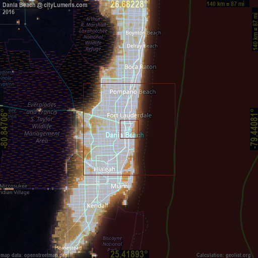
Analysis of Dania Beach night lights 2016
Square area 10x10 km:
 63.89%
90-99
9.33%80-89
1.98%70-79
3.57%60-69
6.75%50-59
8.33%40-49
6.15%30-39
0%20-29
0%10-19
0%0-9
0%Square area 50x50 km:
33.07%90-99
12.74%80-89
2.52%70-79
2.69%60-69
2.14%50-59
2.02%40-49
2.61%30-39
2.25%20-29
2.11%10-19
3.89%0-9
33.96%Clear (daylight) street map image can be seen on geolist.org.
Map coordinates:
26° 40' 56.2" North, 80° 50' 49.4" West
26° 3' 8.3" North, 80° 8' 38.1" West
25° 25' 8.1" North, 79° 26' 26.9" West
Some cities around Dania Beach sort by population:
• Fort Lauderdale
7.8 km =4.8 mi,  0°
0°
• Hollywood
4.6 km =2.9 mi,  186°
186°
• Davie
9 km =5.6 mi,  277°
277°
• West Hollywood
5.3 km =3.3 mi,  228°
228°
• Hallandale Beach
7.9 km =4.9 mi,  183°
183°
• Melrose Park
8.4 km =5.2 mi,  323°
323°
• Broadview Park
8.3 km =5.2 mi,  309°
309°
• Pembroke Park
7.8 km =4.8 mi,  203°
203°
4152772 (p: 31,446)
Sources (retrieved 2019-11-25):
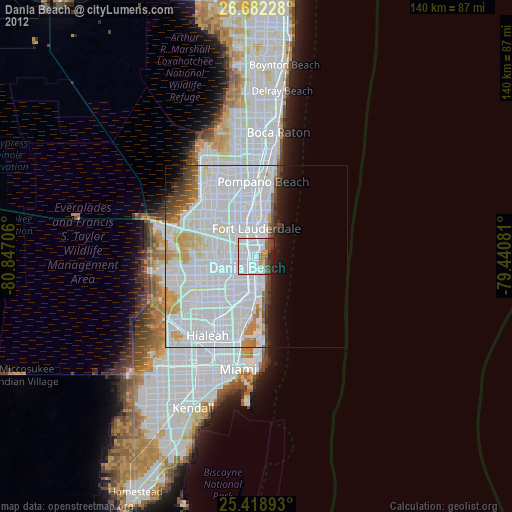
» Earth at Night: Flat Maps 2012, 2016