Valley Stream night lights from space
Night Light of Valley Stream (New York) from space (United States) Src. Average luminocity for 10x10km area is 97.4399% and for 50x50km: 59.3472%.
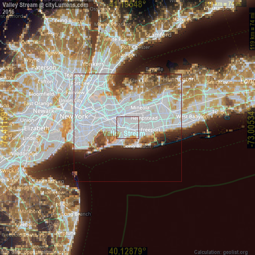
Analysis of Valley Stream night lights 2016
Square area 10x10 km:
 73.7%
73.7%90-99
17.05%80-89
3.57%70-79
3.25%60-69
1.79%50-59
0.65%40-49
0%30-39
0%20-29
0%10-19
0%0-9
0%Square area 50x50 km:
32.88%90-99
12.4%80-89
3.53%70-79
3.79%60-69
4.12%50-59
3.56%40-49
2.91%30-39
2.54%20-29
3.92%10-19
4.11%0-9
26.24%Clear (daylight) street map image can be seen on geolist.org.
Map coordinates:
41° 11' 43.7" North, 74° 24' 41.7" West
40° 39' 51.4" North, 73° 42' 30.5" West
40° 7' 43.6" North, 73° 0' 19.2" West
Some cities around Valley Stream sort by population:
• Rosedale
2.3 km =1.4 mi,  263°
263°
• Laurelton
3.3 km =2.1 mi,  281°
281°
• Lynbrook
3.3 km =2.1 mi,  108°
108°
• Woodmere
3.6 km =2.2 mi,  185°
185°
• North Valley Stream
2.4 km =1.5 mi,  13°
13°
• Malverne
3.3 km =2.1 mi,  60°
60°
• Hewlett
2.6 km =1.6 mi,  155°
155°
• South Valley Stream
1.2 km =0.7 mi,  219°
219°
5142109 (p: 37,962)
Sources (retrieved 2019-11-25):
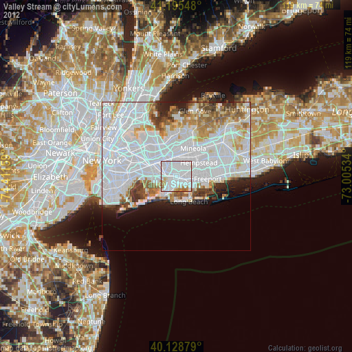
» Earth at Night: Flat Maps 2012, 2016