Draper night lights from space
Night Light of Draper (Utah) from space (United States) Src. Average luminocity for 10x10km area is 78.6173% and for 50x50km: 36.4786%.
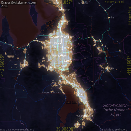
Analysis of Draper night lights 2016
Square area 10x10 km:
 25.17%
90-99
22.96%80-89
10.71%70-79
10.2%60-69
10.71%50-59
4.76%40-49
3.4%30-39
2.55%20-29
9.18%10-19
0.34%0-9
0%Square area 50x50 km:
8.85%90-99
8.9%80-89
5.95%70-79
4.26%60-69
4.27%50-59
4.31%40-49
2.66%30-39
3.02%20-29
6.25%10-19
9.18%0-9
42.34%Clear (daylight) street map image can be seen on geolist.org.
Map coordinates:
41° 3' 25.2" North, 112° 34' 1" West
40° 31' 28.8" North, 111° 51' 49.8" West
39° 59' 17.1" North, 111° 9' 38.5" West
Some cities around Draper sort by population:
• Sandy Hills
6.4 km =4 mi,  9°
9°
• Sandy
7.6 km =4.7 mi,  347°
347°
• South Jordan
7 km =4.3 mi,  306°
306°
• Riverton
6.4 km =4 mi,  267°
267°
• South Jordan Heights
8.4 km =5.2 mi,  301°
301°
• Bluffdale
7.4 km =4.6 mi,  238°
238°
• Little Cottonwood Creek Valley
9.3 km =5.8 mi,  18°
18°
• White City
4.6 km =2.9 mi,  359°
359°
5774001 (p: 46,774)
Sources (retrieved 2019-11-25):
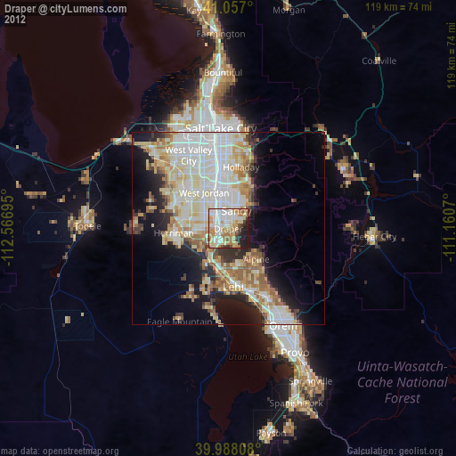
» Earth at Night: Flat Maps 2012, 2016