Carmi night lights from space
Night Light of Carmi (Illinois) from space (United States) Src. Average luminocity for 10x10km area is 15.1477% and for 50x50km: 4.2702%.
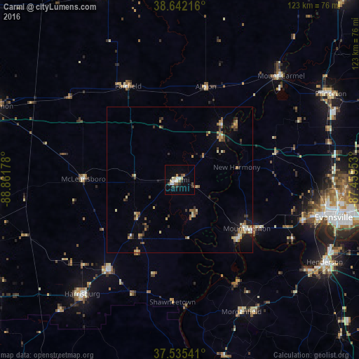
Analysis of Carmi night lights 2016
Square area 10x10 km:
 2.6%
2.6%90-99
2.27%80-89
2.11%70-79
0.81%60-69
1.79%50-59
1.14%40-49
2.44%30-39
1.79%20-29
1.62%10-19
4.38%0-9
79.06%Square area 50x50 km:
0.28%90-99
0.5%80-89
0.69%70-79
0.34%60-69
0.88%50-59
0.56%40-49
0.54%30-39
0.82%20-29
0.58%10-19
1.87%0-9
92.95%Clear (daylight) street map image can be seen on geolist.org.
Map coordinates:
38° 38' 31.8" North, 88° 51' 42.4" West
38° 5' 27.2" North, 88° 9' 31.1" West
37° 32' 7.5" North, 87° 27' 19.9" West
Some cities around Carmi sort by population:
• Evansville
54.3 km =33.7 mi,  103°
103°
• Henderson
57.3 km =35.6 mi,  119°
119°
• Harrisburg
51.6 km =32.1 mi,  220°
220°
• Princeton
59.4 km =36.9 mi,  60°
60°
• Benton
67.5 km =41.9 mi,  261°
261°
• Mount Carmel
49.7 km =30.9 mi,  44°
44°
• Mount Vernon
29.1 km =18.1 mi,  127°
127°
• Fairfield
36.5 km =22.7 mi,  331°
331°
4235246 (p: 5,119)
Sources (retrieved 2019-11-25):
» Earth at Night: Flat Maps 2012, 2016