Hellertown night lights from space
Night Light of Hellertown (Pennsylvania) from space (United States) Src. Average luminocity for 10x10km area is 50.4026% and for 50x50km: 29.0646%.
Analysis of Hellertown night lights 2016
Square area 10x10 km:
 8.44%
8.44%90-99
10.88%80-89
6.01%70-79
6.98%60-69
5.19%50-59
9.9%40-49
10.06%30-39
7.79%20-29
11.2%10-19
14.77%0-9
8.77%Square area 50x50 km:
4.42%90-99
4.45%80-89
3.05%70-79
3.84%60-69
5.6%50-59
4.96%40-49
4.13%30-39
5.13%20-29
6.79%10-19
15.09%0-9
42.55%Clear (daylight) street map image can be seen on geolist.org.
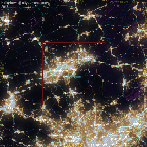
Map coordinates:
41° 6' 41.1" North, 76° 2' 37.9" West
40° 34' 46.3" North, 75° 20' 26.6" West
40° 2' 36.2" North, 74° 38' 15.4" West
Some cities around Hellertown sort by population:
• Allentown
13 km =8.1 mi,  284°
284°
• Bethlehem
5.7 km =3.5 mi,  334°
334°
• Fullerton
12.6 km =7.8 mi,  297°
297°
• Emmaus
13.9 km =8.6 mi,  251°
251°
• Quakertown
15.3 km =9.5 mi,  180°
180°
• Wilson
14.3 km =8.9 mi,  35°
35°
• Middletown
7.2 km =4.5 mi,  5°
5°
• Catasauqua
14.1 km =8.8 mi,  306°
306°
5193149 (p: 5,824)
Sources (retrieved 2019-11-25):
» Earth at Night: Flat Maps 2012, 2016