Lethbridge night lights from space
Night Light of Lethbridge (Alberta) from space (Canada) Src. Average luminocity for 10x10km area is 53.7206% and for 50x50km: 3.8057%.
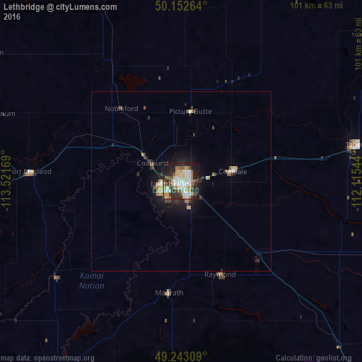
Analysis of Lethbridge night lights 2016
Square area 10x10 km:
 11.23%
90-99
11.9%80-89
7.09%70-79
6.95%60-69
5.08%50-59
8.42%40-49
5.75%30-39
6.68%20-29
17.38%10-19
18.32%0-9
1.2%Square area 50x50 km:
0.57%90-99
0.59%80-89
0.44%70-79
0.49%60-69
0.37%50-59
0.52%40-49
0.4%30-39
0.68%20-29
1.12%10-19
2.72%0-9
92.1%Clear (daylight) street map image can be seen on geolist.org.
Map coordinates:
50° 9' 9.5" North, 113° 31' 18.1" West
49° 41' 60" North, 112° 49' 6.8" West
49° 14' 35.1" North, 112° 6' 55.6" West
Some cities around Lethbridge sort by population:
• Medicine Hat
158.1 km =98.2 mi,  76°
76°
• Okotoks
141.2 km =87.7 mi,  324°
324°
• Strathmore
155.4 km =96.6 mi,  345°
345°
• Brooks
118.6 km =73.7 mi,  34°
34°
• High River
123.5 km =76.7 mi, 322°
• Taber
49.3 km =30.6 mi, 78°
• Coaldale
14.5 km =9 mi, 82°
• Fernie
163.7 km =101.7 mi,  262°
262°
6053154 (p: 70,617)
Sources (retrieved 2019-11-25):
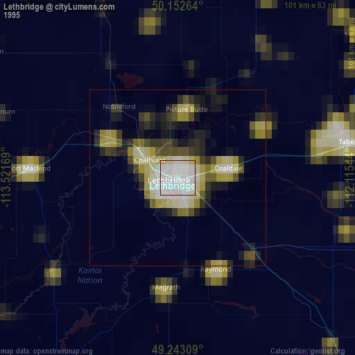
» NASA, Earths city lights 1995
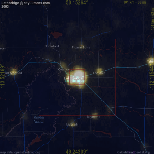
» NASA city lights 2003
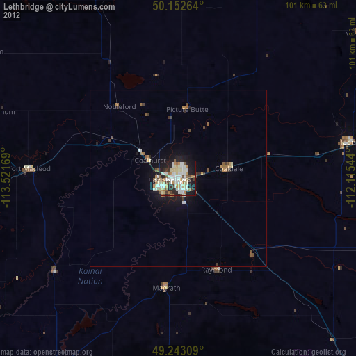
» Earth at Night: Flat Maps 2012, 2016