Medicine Hat night lights from space
Night Light of Medicine Hat (Alberta) from space (Canada) Src. Average luminocity for 10x10km area is 57.881% and for 50x50km: 3.8122%.
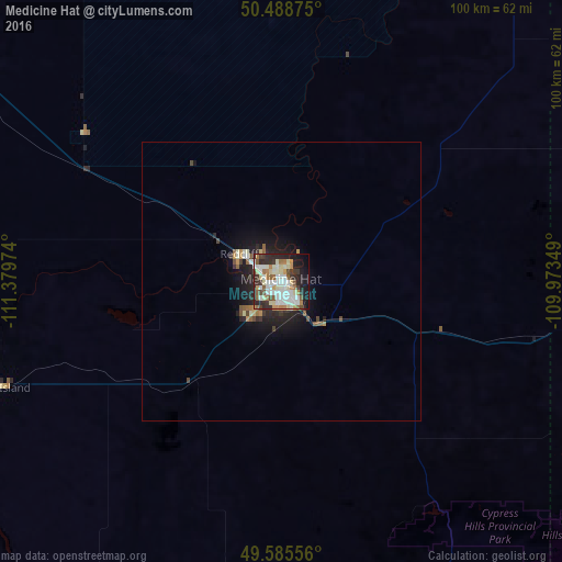
Analysis of Medicine Hat night lights 2016
Square area 10x10 km:
 12.32%
90-99
18.49%80-89
7.42%70-79
4.2%60-69
7%50-59
5.74%40-49
3.92%30-39
7%20-29
16.53%10-19
14.15%0-9
3.22%Square area 50x50 km:
0.53%90-99
0.82%80-89
0.41%70-79
0.37%60-69
0.38%50-59
0.5%40-49
0.44%30-39
0.42%20-29
1.4%10-19
2.8%0-9
91.95%Clear (daylight) street map image can be seen on geolist.org.
Map coordinates:
50° 29' 19.5" North, 111° 22' 47.1" West
50° 2' 21.4" North, 110° 40' 35.8" West
49° 35' 8" North, 109° 58' 24.6" West
Some cities around Medicine Hat sort by population:
• Lethbridge
158.1 km =98.2 mi,  256°
256°
• Swift Current
206.6 km =128.4 mi,  82°
82°
• Strathmore
221.9 km =137.9 mi,  300°
300°
• Brooks
105 km =65.2 mi,  305°
305°
• Havre, US
180.6 km =112.2 mi,  156°
156°
• High River
234.6 km =145.8 mi,  284°
284°
• Taber
108.9 km =67.7 mi, 255°
• Coaldale
143.7 km =89.3 mi, 255°
6071618 (p: 63,138)
Sources (retrieved 2019-11-25):
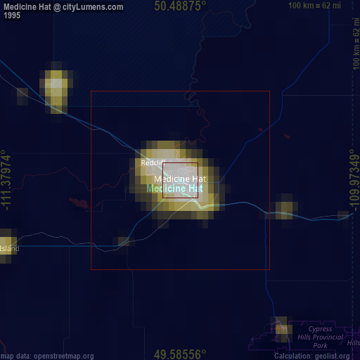
» NASA, Earths city lights 1995
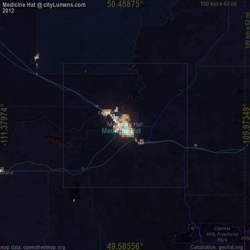
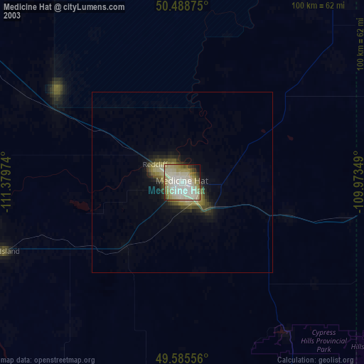
» NASA city lights 2003
» Earth at Night: Flat Maps 2012, 2016