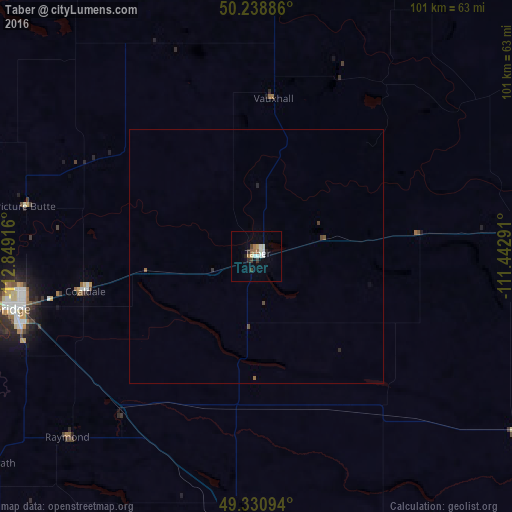
Taber night lights from space
Night Light of Taber (Alberta) from space (Canada) Src. Average luminocity for 10x10km area is 10.492% and for 50x50km: 0.5502%.
Analysis of Taber night lights 2016
Square area 10x10 km:
 2.01%
2.01%90-99
1.74%80-89
1.07%70-79
0.53%60-69
1.87%50-59
0.8%40-49
0.53%30-39
2.01%20-29
0.94%10-19
1.07%0-9
87.43%Square area 50x50 km:
0.08%90-99
0.07%80-89
0.04%70-79
0.02%60-69
0.1%50-59
0.07%40-49
0.12%30-39
0.09%20-29
0.09%10-19
0.04%0-9
99.26%Clear (daylight) street map image can be seen on geolist.org.
Map coordinates:
50° 14' 19.9" North, 112° 50' 57" West
49° 47' 13.3" North, 112° 8' 45.7" West
49° 19' 51.4" North, 111° 26' 34.5" West
Some cities around Taber sort by population:
• Calgary
196.5 km =122.1 mi,  315°
315°
• Lethbridge
49.3 km =30.6 mi,  258°
258°
• Medicine Hat
108.9 km =67.7 mi,  75°
75°
• Okotoks
167.4 km =104 mi,  308°
308°
• Strathmore
165.6 km =102.9 mi,  327°
327°
• Brooks
90.5 km =56.2 mi,  11°
11°
• High River
151.3 km =94 mi, 305°
• Coaldale
34.8 km =21.6 mi, 257°
6160919 (p: 8,163)
Sources (retrieved 2019-11-25):
» Earth at Night: Flat Maps 2012, 2016