Hālawa Heights night lights from space
Night Light of Hālawa Heights (Hawaii) from space (United States) Src. Average luminocity for 10x10km area is 66.5549% and for 50x50km: 20.8729%.
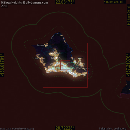
Analysis of Hālawa Heights night lights 2016
Square area 10x10 km:
 21.78%
90-99
21.21%80-89
3.98%70-79
6.25%60-69
7.01%50-59
3.41%40-49
5.11%30-39
8.33%20-29
12.88%10-19
8.9%0-9
1.14%Square area 50x50 km:
3.07%90-99
3.28%80-89
2.04%70-79
3.5%60-69
3.68%50-59
2.57%40-49
2.67%30-39
2.35%20-29
7.28%10-19
13.71%0-9
55.85%Clear (daylight) street map image can be seen on geolist.org.
Map coordinates:
22° 1' 54.3" North, 158° 37' 1.2" West
21° 22' 42.5" North, 157° 54' 50" West
20° 43' 20.2" North, 157° 12' 38.7" West
Some cities around Hālawa Heights sort by population:
• Honolulu
9.8 km =6.1 mi,  144°
144°
• Pearl City
6.7 km =4.2 mi,  288°
288°
• Waipahu
9.9 km =6.2 mi,  275°
275°
• Waimalu
4.2 km =2.6 mi,  313°
313°
• Waipio
9.9 km =6.2 mi,  296°
296°
• ‘Aiea
2.1 km =1.3 mi, 281°
• ‘Āhuimanu
10.8 km =6.7 mi,  46°
46°
• Hickam Field
6.5 km =4 mi,  228°
228°
5855327 (p: 13,408)
Sources (retrieved 2019-11-25):
» Earth at Night: Flat Maps 2012, 2016