Waipio night lights from space
Night Light of Waipio (Hawaii) from space (United States) Src. Average luminocity for 10x10km area is 59.2064% and for 50x50km: 19.4472%.
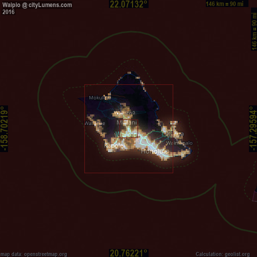
Analysis of Waipio night lights 2016
Square area 10x10 km:
 8.71%
8.71%90-99
9.66%80-89
7.95%70-79
10.23%60-69
18.75%50-59
7.39%40-49
7.01%30-39
4.55%20-29
22.35%10-19
3.41%0-9
0%Square area 50x50 km:
3.01%90-99
3.18%80-89
1.52%70-79
3.07%60-69
3.69%50-59
2.37%40-49
2.67%30-39
2.44%20-29
6.97%10-19
11.17%0-9
59.92%Clear (daylight) street map image can be seen on geolist.org.
Map coordinates:
22° 4' 16.8" North, 158° 42' 7.9" West
21° 25' 5.6" North, 157° 59' 56.6" West
20° 45' 44" North, 157° 17' 45.4" West
Some cities around Waipio sort by population:
• Pearl City
3.4 km =2.1 mi,  133°
133°
• Waipahu
3.7 km =2.3 mi,  196°
196°
• Mililani Town
3.9 km =2.4 mi,  335°
335°
• Royal Kunia
3.9 km =2.4 mi,  226°
226°
• Hālawa
9.1 km =5.7 mi,  118°
118°
• Waimalu
6 km =3.7 mi,  104°
104°
• Village Park
3.9 km =2.4 mi,  235°
235°
• ‘Aiea
7.9 km =4.9 mi, 120°
5854717 (p: 11,674)
Sources (retrieved 2019-11-25):
» Earth at Night: Flat Maps 2012, 2016