Waipahu night lights from space
Night Light of Waipahu (Hawaii) from space (United States) Src. Average luminocity for 10x10km area is 63.3447% and for 50x50km: 19.0397%.
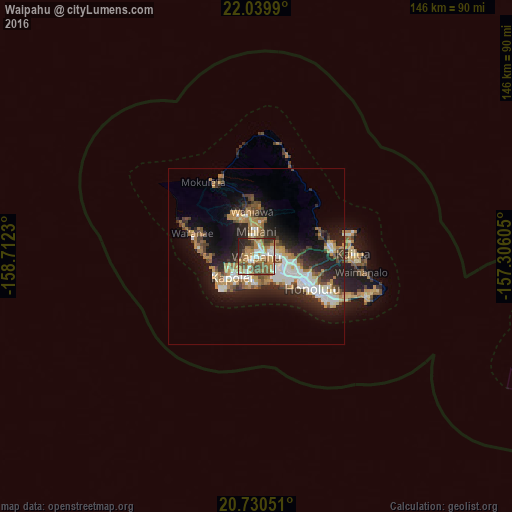
Analysis of Waipahu night lights 2016
Square area 10x10 km:
 9.09%
9.09%90-99
9.47%80-89
5.87%70-79
15.53%60-69
18.18%50-59
14.02%40-49
11.36%30-39
4.55%20-29
10.61%10-19
1.33%0-9
0%Square area 50x50 km:
3.01%90-99
3.14%80-89
1.47%70-79
2.98%60-69
3.62%50-59
2.3%40-49
2.58%30-39
2.37%20-29
6.76%10-19
10.78%0-9
60.98%Clear (daylight) street map image can be seen on geolist.org.
Map coordinates:
22° 2' 23.6" North, 158° 42' 44.3" West
21° 23' 12" North, 158° 0' 33" West
20° 43' 49.8" North, 157° 18' 21.8" West
Some cities around Waipahu sort by population:
• Pearl City
3.7 km =2.3 mi,  71°
71°
• Mililani Town
7.1 km =4.4 mi,  355°
355°
• ‘Ewa Gentry
5.6 km =3.5 mi,  202°
202°
• Royal Kunia
2 km =1.2 mi,  293°
293°
• Waimalu
7.1 km =4.4 mi, 73°
• Waipio
3.7 km =2.3 mi,  16°
16°
• Village Park
2.5 km =1.6 mi,  300°
300°
• ‘Ewa Villages
6 km =3.7 mi,  212°
212°
5854686 (p: 38,216)
Sources (retrieved 2019-11-25):
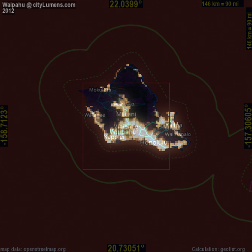
» Earth at Night: Flat Maps 2012, 2016