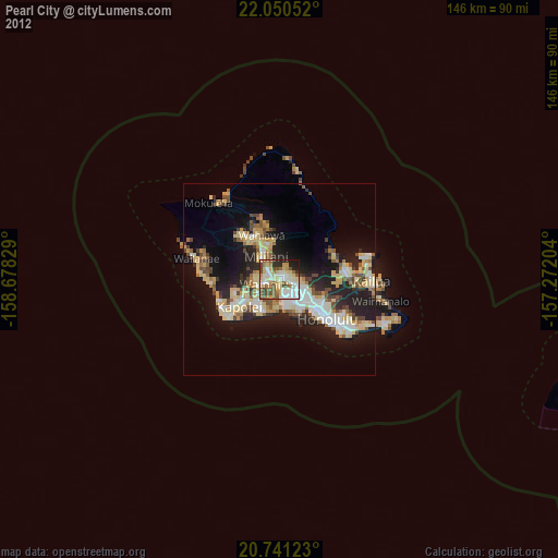
Pearl City night lights from space
Night Light of Pearl City (Hawaii) from space (United States) Src. Average luminocity for 10x10km area is 68.5473% and for 50x50km: 20.4199%.
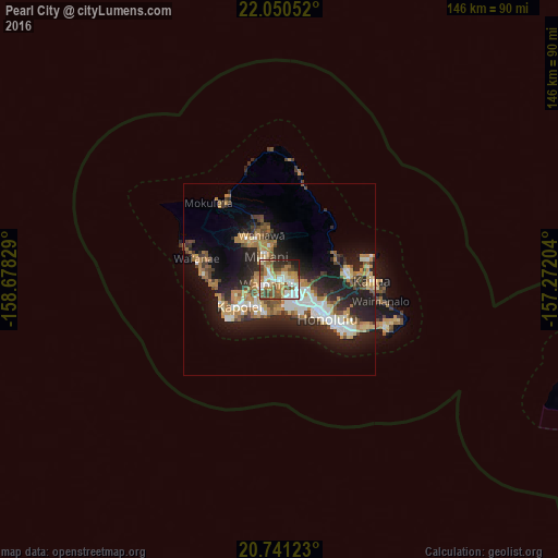
Analysis of Pearl City night lights 2016
Square area 10x10 km:
 14.39%
90-99
14.96%80-89
7.77%70-79
12.31%60-69
14.77%50-59
11.74%40-49
9.66%30-39
5.68%20-29
6.25%10-19
2.46%0-9
0%Square area 50x50 km:
3.06%90-99
3.27%80-89
1.81%70-79
3.3%60-69
3.86%50-59
2.5%40-49
2.7%30-39
2.43%20-29
7.22%10-19
12.21%0-9
57.62%Clear (daylight) street map image can be seen on geolist.org.
Map coordinates:
22° 3' 1.9" North, 158° 40' 41.8" West
21° 23' 50.4" North, 157° 58' 30.6" West
20° 44' 28.4" North, 157° 16' 19.3" West
Some cities around Pearl City sort by population:
• Waipahu
3.7 km =2.3 mi,  251°
251°
• Royal Kunia
5.3 km =3.3 mi,  265°
265°
• Hālawa
5.9 km =3.7 mi,  109°
109°
• Waimalu
3.4 km =2.1 mi,  76°
76°
• Waipio
3.4 km =2.1 mi,  313°
313°
• Village Park
5.7 km =3.5 mi, 270°
• ‘Aiea
4.6 km =2.9 mi, 111°
• Hickam Field
6.6 km =4.1 mi,  166°
166°
5852275 (p: 47,698)
Sources (retrieved 2019-11-25):
» Earth at Night: Flat Maps 2012, 2016