‘Āhuimanu night lights from space
Night Light of ‘Āhuimanu (Hawaii) from space (United States) Src. Average luminocity for 10x10km area is 19.7992% and for 50x50km: 18.916%.
Analysis of ‘Āhuimanu night lights 2016
Square area 10x10 km:
 1.33%
1.33%90-99
3.22%80-89
2.84%70-79
2.46%60-69
1.14%50-59
2.65%40-49
1.89%30-39
4.92%20-29
4.17%10-19
26.7%0-9
48.67%Square area 50x50 km:
2.93%90-99
3.09%80-89
1.86%70-79
2.99%60-69
3.16%50-59
2.46%40-49
2.55%30-39
2.22%20-29
6.83%10-19
11.32%0-9
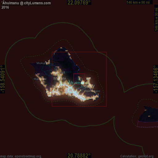
60.59%Clear (daylight) street map image can be seen on geolist.org.
Map coordinates:
22° 5' 51.7" North, 158° 32' 27.3" West
21° 26' 41" North, 157° 50' 16" West
20° 47' 19.8" North, 157° 8' 4.8" West
Some cities around ‘Āhuimanu sort by population:
• Pearl City
15.2 km =9.4 mi,  249°
249°
• Kailua
11.1 km =6.9 mi,  115°
115°
• Kaneohe
6.4 km =4 mi,  141°
141°
• Hālawa
11.3 km =7 mi,  230°
230°
• Waimalu
11.8 km =7.3 mi, 247°
• Hālawa Heights
10.8 km =6.7 mi, 226°
• Marine Corps Base Hawaii - MCBH
9.1 km =5.7 mi,  90°
90°
• ‘Aiea
12.1 km =7.5 mi, 234°
5856516 (p: 8,810)
Sources (retrieved 2019-11-25):
» Earth at Night: Flat Maps 2012, 2016