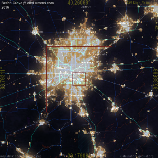
Beech Grove night lights from space
Night Light of Beech Grove (Indiana) from space (United States) Src. Average luminocity for 10x10km area is 91.0763% and for 50x50km: 55.0027%.
Analysis of Beech Grove night lights 2016
Square area 10x10 km:
 33.28%
90-99
29.71%80-89
18.34%70-79
15.42%60-69
3.25%50-59
0%40-49
0%30-39
0%20-29
0%10-19
0%0-9
0%Square area 50x50 km:
15.15%90-99
13.1%80-89
7.86%70-79
9.19%60-69
7.11%50-59
5.11%40-49
4.08%30-39
4.11%20-29
5.57%10-19
8.27%0-9
20.46%Clear (daylight) street map image can be seen on geolist.org.
Map coordinates:
40° 15' 38.4" North, 86° 47' 35.2" West
39° 43' 19.2" North, 86° 5' 23.9" West
39° 10' 44.6" North, 85° 23' 12.7" West
Some cities around Beech Grove sort by population:
• Indianapolis
7.8 km =4.8 mi,  311°
311°
• Greenwood
12.1 km =7.5 mi,  186°
186°
• Lawrence
14.1 km =8.8 mi,  23°
23°
• Broad Ripple
16.7 km =10.4 mi,  344°
344°
• Speedway
17.6 km =10.9 mi,  300°
300°
• Bargersville
23.3 km =14.5 mi,  196°
196°
• New Whiteland
18.2 km =11.3 mi,  181°
181°
• Cumberland
12.8 km =8 mi,  62°
62°
4254304 (p: 14,548)
Sources (retrieved 2019-11-25):
» Earth at Night: Flat Maps 2012, 2016