Glendale night lights from space
Night Light of Glendale (Colorado) from space (United States) Src. Average luminocity for 10x10km area is 98.7906% and for 50x50km: 65.5042%.
Analysis of Glendale night lights 2016
Square area 10x10 km:
 66.07%
90-99
30.36%80-89
3.57%70-79
0%60-69
0%50-59
0%40-49
0%30-39
0%20-29
0%10-19
0%0-9
0%Square area 50x50 km:
18.42%90-99
15.46%80-89
8.99%70-79
11.79%60-69
8.6%50-59
5.97%40-49
5.1%30-39
4.97%20-29
6.77%10-19
7.02%0-9
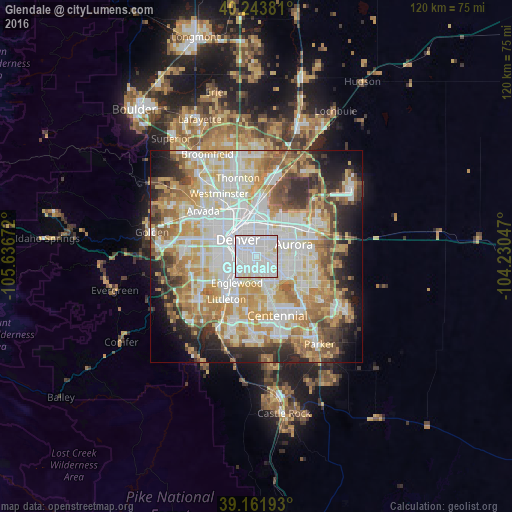
6.9%Clear (daylight) street map image can be seen on geolist.org.
Map coordinates:
40° 14' 37.7" North, 105° 38' 12.2" West
39° 42' 18" North, 104° 56' 0.9" West
39° 9' 42.9" North, 104° 13' 49.7" West
Some cities around Glendale sort by population:
• Denver
5.8 km =3.6 mi,  310°
310°
• Aurora
9.1 km =5.7 mi,  72°
72°
• Commerce City
11.5 km =7.1 mi,  359°
359°
• Englewood
7.9 km =4.9 mi,  216°
216°
• Greenwood Village
9.9 km =6.2 mi,  188°
188°
• Cherry Creek
9 km =5.6 mi,  150°
150°
• Cherry Hills Village
7.4 km =4.6 mi,  197°
197°
• Sheridan
10.2 km =6.3 mi,  230°
230°
5423075 (p: 5,198)
Sources (retrieved 2019-11-25):
» Earth at Night: Flat Maps 2012, 2016