Glasgow night lights from space
Night Light of Glasgow (Kentucky) from space (United States) Src. Average luminocity for 10x10km area is 44.5016% and for 50x50km: 3.7655%.
Analysis of Glasgow night lights 2016
Square area 10x10 km:
 8.12%
8.12%90-99
8.28%80-89
9.09%70-79
5.52%60-69
4.87%50-59
3.25%40-49
3.08%30-39
9.42%20-29
7.63%10-19
32.14%0-9
8.6%Square area 50x50 km:
0.42%90-99
0.46%80-89
0.7%70-79
0.33%60-69
0.31%50-59
0.45%40-49
0.44%30-39
0.82%20-29
0.65%10-19
3%0-9
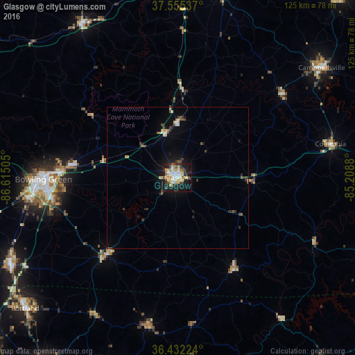
92.43%Clear (daylight) street map image can be seen on geolist.org.
Map coordinates:
37° 33' 19.3" North, 86° 36' 54.2" West
36° 59' 45.2" North, 85° 54' 42.9" West
36° 25' 56.1" North, 85° 12' 31.7" West
Some cities around Glasgow sort by population:
• Bowling Green
47.2 km =29.3 mi,  269°
269°
• Gallatin
82.7 km =51.4 mi,  215°
215°
• Elizabethtown
77.8 km =48.3 mi,  3°
3°
• Portland
70.8 km =44 mi,  229°
229°
• Campbellsville
63.6 km =39.5 mi,  52°
52°
• Franklin
66.5 km =41.3 mi,  242°
242°
• Oak Grove
84.1 km =52.3 mi,  297°
297°
• Leitchfield
63.6 km =39.5 mi,  327°
327°
4292826 (p: 14,470)
Sources (retrieved 2019-11-25):
» Earth at Night: Flat Maps 2012, 2016