Elizabethtown night lights from space
Night Light of Elizabethtown (Kentucky) from space (United States) Src. Average luminocity for 10x10km area is 60.1088% and for 50x50km: 8.8319%.
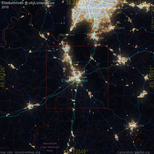
Analysis of Elizabethtown night lights 2016
Square area 10x10 km:
 10.37%
90-99
13.27%80-89
8.84%70-79
8.33%60-69
8.67%50-59
9.86%40-49
10.71%30-39
10.54%20-29
10.71%10-19
8.33%0-9
0.34%Square area 50x50 km:
0.82%90-99
1.09%80-89
1.16%70-79
0.91%60-69
1.41%50-59
1.59%40-49
1.37%30-39
1.88%20-29
3.28%10-19
5.9%0-9
80.57%Clear (daylight) street map image can be seen on geolist.org.
Map coordinates:
38° 14' 53.6" North, 86° 33' 44.1" West
37° 41' 38.2" North, 85° 51' 32.9" West
37° 8' 7.8" North, 85° 9' 21.6" West
Some cities around Elizabethtown sort by population:
• Valley Station
46.4 km =28.8 mi,  358°
358°
• Radcliff
18.1 km =11.2 mi,  334°
334°
• Bardstown
36.8 km =22.9 mi,  69°
69°
• Shepherdsville
35.1 km =21.8 mi,  21°
21°
• Fort Knox
23.8 km =14.8 mi,  337°
337°
• Hillview
44.5 km =27.7 mi, 20°
• Leitchfield
45.1 km =28 mi,  238°
238°
• Vine Grove
16.8 km =10.4 mi,  320°
320°
4290988 (p: 29,678)
Sources (retrieved 2019-11-25):
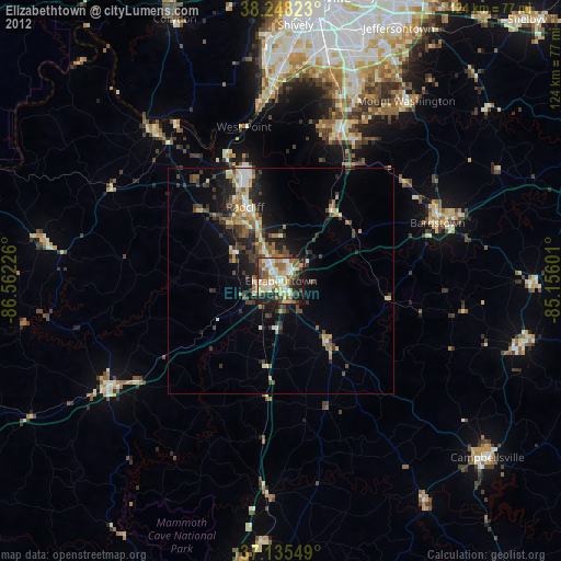
» Earth at Night: Flat Maps 2012, 2016