Gallatin night lights from space
Night Light of Gallatin (Tennessee) from space (United States) Src. Average luminocity for 10x10km area is 61.25% and for 50x50km: 31.7873%.
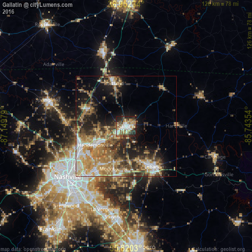
Analysis of Gallatin night lights 2016
Square area 10x10 km:
 10.49%
90-99
13.29%80-89
10.49%70-79
9.09%60-69
7.87%50-59
11.71%40-49
8.39%30-39
6.64%20-29
15.56%10-19
6.47%0-9
0%Square area 50x50 km:
3.88%90-99
4.84%80-89
5.6%70-79
5.11%60-69
6.32%50-59
4.8%40-49
4.79%30-39
5.97%20-29
6.8%10-19
10.25%0-9
41.65%Clear (daylight) street map image can be seen on geolist.org.
Map coordinates:
36° 57' 8.4" North, 87° 8' 59.2" West
36° 23' 18.2" North, 86° 26' 48" West
35° 49' 13.1" North, 85° 44' 36.7" West
Some cities around Gallatin sort by population:
• Hendersonville
18.1 km =11.2 mi,  239°
239°
• Mount Juliet
21.9 km =13.6 mi,  197°
197°
• Lebanon
24.4 km =15.2 mi,  145°
145°
• Goodlettsville
25 km =15.5 mi,  253°
253°
• Portland
22.4 km =13.9 mi,  343°
343°
• White House
20.5 km =12.7 mi,  296°
296°
• Millersville
23.7 km =14.7 mi,  265°
265°
• Green Hill
20.6 km =12.8 mi,  206°
206°
4624180 (p: 34,334)
Sources (retrieved 2019-11-25):
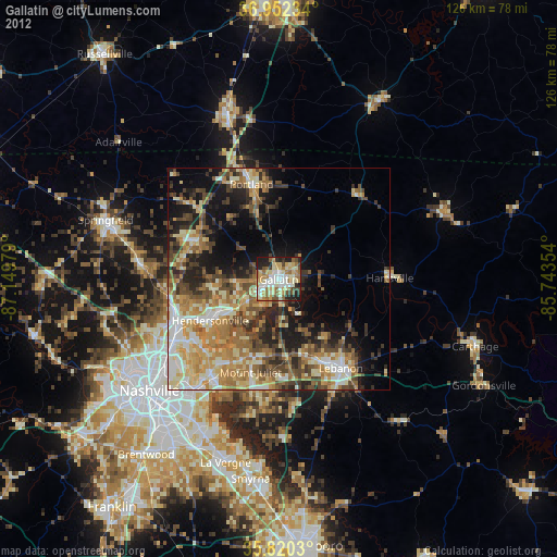
» Earth at Night: Flat Maps 2012, 2016