Gilroy night lights from space
Night Light of Gilroy (California) from space (United States) Src. Average luminocity for 10x10km area is 39.4805% and for 50x50km: 8.5208%.
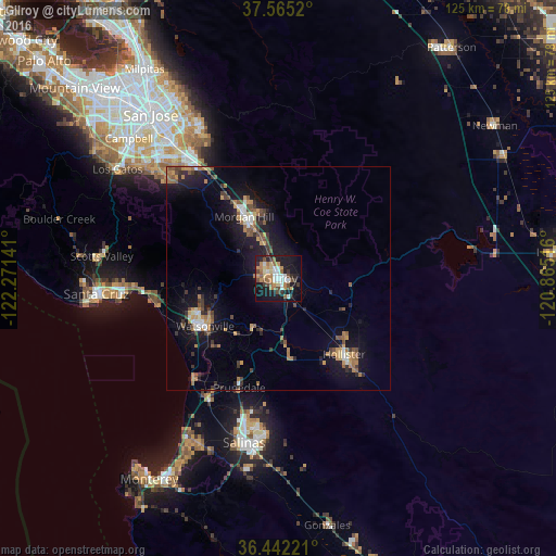
Analysis of Gilroy night lights 2016
Square area 10x10 km:
 6.82%
6.82%90-99
5.19%80-89
4.87%70-79
6.17%60-69
7.63%50-59
3.73%40-49
6.49%30-39
4.22%20-29
8.6%10-19
32.79%0-9
13.47%Square area 50x50 km:
0.72%90-99
0.83%80-89
0.48%70-79
1.55%60-69
1.49%50-59
1.35%40-49
1.21%30-39
1.53%20-29
1.63%10-19
8.62%0-9
80.6%Clear (daylight) street map image can be seen on geolist.org.
Map coordinates:
37° 33' 54.7" North, 122° 16' 17.1" West
37° 0' 20.8" North, 121° 34' 5.8" West
36° 26' 32" North, 120° 51' 54.6" West
Some cities around Gilroy sort by population:
• Watsonville
19.8 km =12.3 mi,  237°
237°
• Morgan Hill
15.8 km =9.8 mi,  331°
331°
• Hollister
22.6 km =14 mi,  139°
139°
• Prunedale
27.1 km =16.8 mi,  199°
199°
• Rio Del Mar
29.8 km =18.5 mi,  261°
261°
• Interlaken
15.9 km =9.9 mi,  247°
247°
• San Martin
9.6 km =6 mi,  337°
337°
• Aptos
29.6 km =18.4 mi, 263°
5352214 (p: 53,231)
Sources (retrieved 2019-11-25):
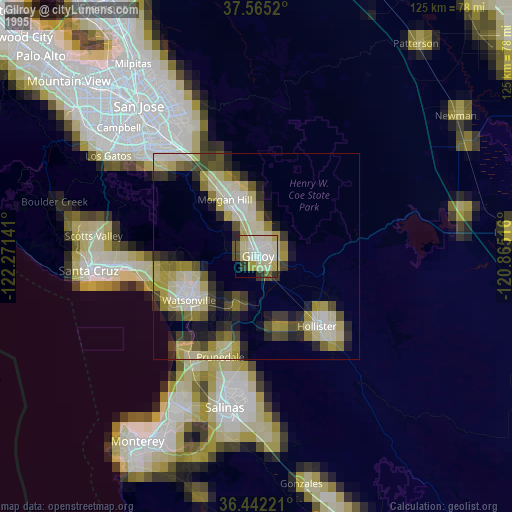
» NASA, Earths city lights 1995
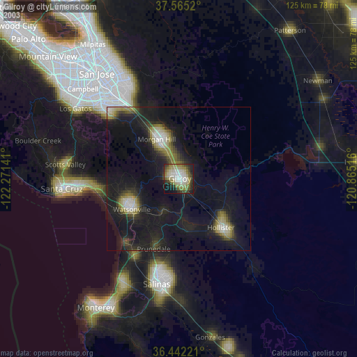
» NASA city lights 2003
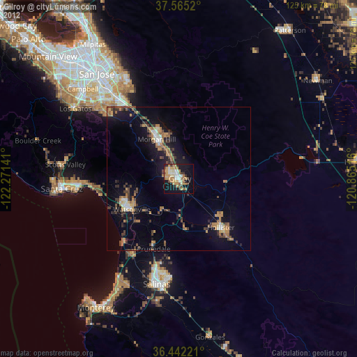
» Earth at Night: Flat Maps 2012, 2016