Germantown night lights from space
Night Light of Germantown (Maryland) from space (United States) Src. Average luminocity for 10x10km area is 67.3312% and for 50x50km: 44.5714%.
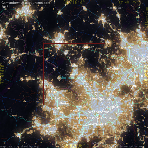
Analysis of Germantown night lights 2016
Square area 10x10 km:
 17.69%
90-99
16.07%80-89
10.06%70-79
9.09%60-69
12.34%50-59
5.36%40-49
5.68%30-39
4.06%20-29
10.06%10-19
9.58%0-9
0%Square area 50x50 km:
8.9%90-99
8.77%80-89
5.72%70-79
6.83%60-69
7.88%50-59
7.38%40-49
4.76%30-39
4.72%20-29
7%10-19
14.11%0-9
23.94%Clear (daylight) street map image can be seen on geolist.org.
Map coordinates:
39° 42' 58.1" North, 77° 58' 29.2" West
39° 10' 23.4" North, 77° 16' 17.9" West
38° 37' 33.5" North, 76° 34' 6.7" West
Some cities around Germantown sort by population:
• Gaithersburg
6.9 km =4.3 mi,  118°
118°
• Montgomery Village
6.6 km =4.1 mi,  86°
86°
• North Potomac
10.1 km =6.3 mi,  176°
176°
• Redland
11.4 km =7.1 mi,  105°
105°
• Clarksburg
7.3 km =4.5 mi,  354°
354°
• Travilah
11.6 km =7.2 mi, 176°
• Darnestown
7.9 km =4.9 mi,  192°
192°
• Poolesville
12.9 km =8 mi,  256°
256°
4356050 (p: 86,395)
Sources (retrieved 2019-11-25):
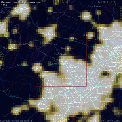
» NASA, Earths city lights 1995
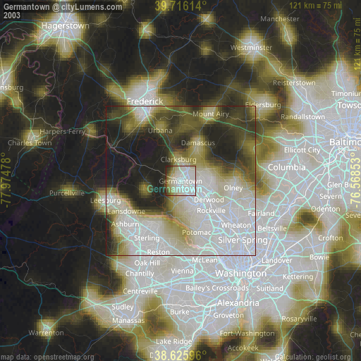
» NASA city lights 2003
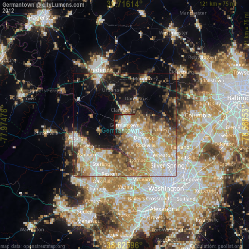
» Earth at Night: Flat Maps 2012, 2016