Gaithersburg night lights from space
Night Light of Gaithersburg (Maryland) from space (United States) Src. Average luminocity for 10x10km area is 89.2013% and for 50x50km: 50.6136%.
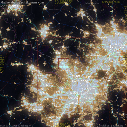
Analysis of Gaithersburg night lights 2016
Square area 10x10 km:
 32.95%
90-99
31.33%80-89
6.33%70-79
16.07%60-69
11.2%50-59
1.79%40-49
0.32%30-39
0%20-29
0%10-19
0%0-9
0%Square area 50x50 km:
11.87%90-99
10.09%80-89
6.38%70-79
7.82%60-69
8.33%50-59
8.06%40-49
4.87%30-39
4.76%20-29
7.07%10-19
13.68%0-9
17.06%Clear (daylight) street map image can be seen on geolist.org.
Map coordinates:
39° 41' 11.9" North, 77° 54' 16.2" West
39° 8' 36.4" North, 77° 12' 4.9" West
38° 35' 45.6" North, 76° 29' 53.7" West
Some cities around Gaithersburg sort by population:
• Germantown
6.9 km =4.3 mi,  298°
298°
• Rockville
7.8 km =4.8 mi,  147°
147°
• Olney
11.6 km =7.2 mi,  84°
84°
• Montgomery Village
3.7 km =2.3 mi,  8°
8°
• North Potomac
8.7 km =5.4 mi,  219°
219°
• Redland
4.9 km =3 mi,  87°
87°
• Travilah
9.8 km =6.1 mi,  212°
212°
• Darnestown
8.9 km =5.5 mi,  240°
240°
4355843 (p: 67,456)
Sources (retrieved 2019-11-25):
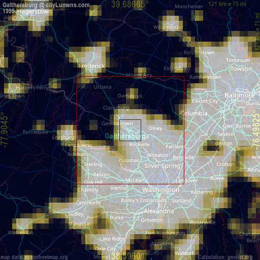
» NASA, Earths city lights 1995
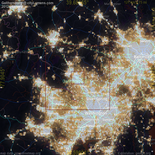
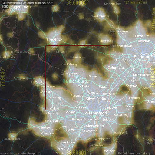
» NASA city lights 2003
» Earth at Night: Flat Maps 2012, 2016