Apple Valley night lights from space
Night Light of Apple Valley (California) from space (United States) Src. Average luminocity for 10x10km area is 37.9108% and for 50x50km: 13.8717%.
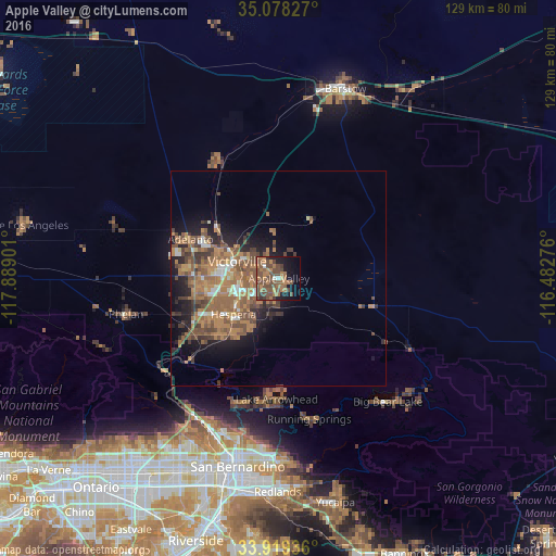
Analysis of Apple Valley night lights 2016
Square area 10x10 km:
 0.7%
0.7%90-99
1.4%80-89
0.7%70-79
2.62%60-69
16.96%50-59
11.89%40-49
21.85%30-39
4.02%20-29
2.8%10-19
18.71%0-9
18.36%Square area 50x50 km:
0.8%90-99
1.13%80-89
0.54%70-79
1.59%60-69
5.49%50-59
4.34%40-49
3.56%30-39
2.08%20-29
2.3%10-19
6.52%0-9
71.65%Clear (daylight) street map image can be seen on geolist.org.
Map coordinates:
35° 4' 41.8" North, 117° 53' 20.4" West
34° 30' 3" North, 117° 11' 9.2" West
33° 55' 9.7" North, 116° 28' 57.9" West
Some cities around Apple Valley sort by population:
• Victorville
10.4 km =6.5 mi,  292°
292°
• Hesperia
13.4 km =8.3 mi,  231°
231°
• Adelanto
22.4 km =13.9 mi, 294°
• Lake Arrowhead
28.1 km =17.5 mi,  180°
180°
• Crestline
30.2 km =18.8 mi,  197°
197°
• Oak Hills
22.2 km =13.8 mi, 233°
• Spring Valley Lake
7.6 km =4.7 mi,  263°
263°
• Lucerne Valley
21 km =13 mi,  107°
107°
5324363 (p: 72,174)
Sources (retrieved 2019-11-25):
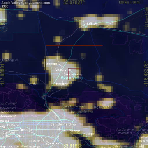
» NASA, Earths city lights 1995
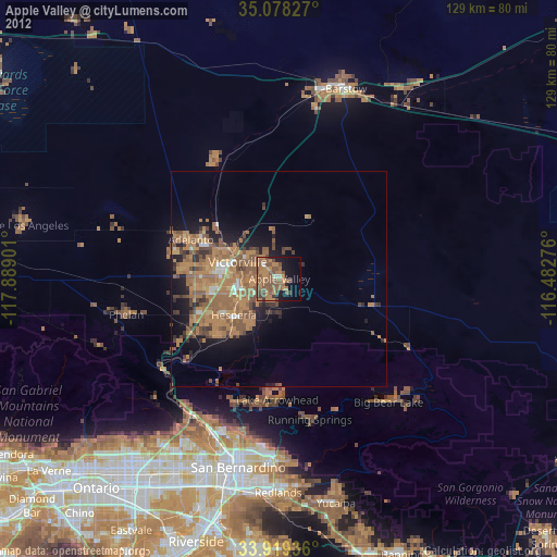
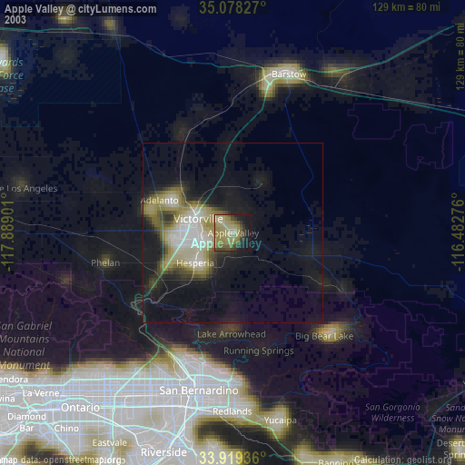
» NASA city lights 2003
» Earth at Night: Flat Maps 2012, 2016