Forest Hills night lights from space
Night Light of Forest Hills (Michigan) from space (United States) Src. Average luminocity for 10x10km area is 25.0302% and for 50x50km: 21.563%.
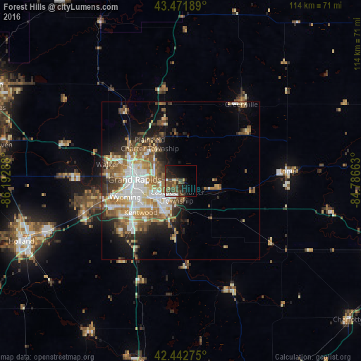
Analysis of Forest Hills night lights 2016
Square area 10x10 km:
 2.22%
2.22%90-99
2.54%80-89
1.59%70-79
1.75%60-69
3.49%50-59
6.19%40-49
9.68%30-39
6.19%20-29
8.41%10-19
16.83%0-9
41.11%Square area 50x50 km:
4.15%90-99
3.93%80-89
2.51%70-79
2.48%60-69
4.07%50-59
3.54%40-49
3.32%30-39
2.46%20-29
4%10-19
6.76%0-9
62.77%Clear (daylight) street map image can be seen on geolist.org.
Map coordinates:
43° 28' 18.8" North, 86° 11' 34.4" West
42° 57' 34.1" North, 85° 29' 23.1" West
42° 26' 33.9" North, 84° 47' 11.9" West
Some cities around Forest Hills sort by population:
• Grand Rapids
14.5 km =9 mi,  271°
271°
• Wyoming
18.3 km =11.4 mi,  253°
253°
• Kentwood
16.1 km =10 mi,  231°
231°
• Northview
13.1 km =8.1 mi,  316°
316°
• Cutlerville
19.4 km =12.1 mi, 227°
• East Grand Rapids
10 km =6.2 mi,  258°
258°
• Comstock Park
17.1 km =10.6 mi,  300°
300°
• Rockford
18.7 km =11.6 mi,  342°
342°
4993125 (p: 25,867)
Sources (retrieved 2019-11-25):
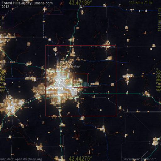
» Earth at Night: Flat Maps 2012, 2016