Kentwood night lights from space
Night Light of Kentwood (Michigan) from space (United States) Src. Average luminocity for 10x10km area is 79.3095% and for 50x50km: 23.5709%.
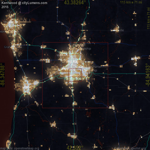
Analysis of Kentwood night lights 2016
Square area 10x10 km:
 19.52%
90-99
21.59%80-89
10.32%70-79
15.87%60-69
16.98%50-59
9.05%40-49
3.33%30-39
0.32%20-29
3.02%10-19
0%0-9
0%Square area 50x50 km:
4.26%90-99
3.96%80-89
2.73%70-79
2.85%60-69
4.31%50-59
3.85%40-49
4.06%30-39
3.01%20-29
4.61%10-19
9.06%0-9
57.31%Clear (daylight) street map image can be seen on geolist.org.
Map coordinates:
43° 22' 57.5" North, 86° 20' 52.4" West
42° 52' 10.1" North, 85° 38' 41.1" West
42° 21' 7.2" North, 84° 56' 29.9" West
Some cities around Kentwood sort by population:
• Grand Rapids
10.6 km =6.6 mi,  349°
349°
• Wyoming
6.9 km =4.3 mi,  314°
314°
• Forest Hills
16.1 km =10 mi,  51°
51°
• Jenison
12.7 km =7.9 mi,  289°
289°
• Grandville
10.6 km =6.6 mi, 294°
• Cutlerville
3.5 km =2.2 mi,  205°
205°
• East Grand Rapids
8.5 km =5.3 mi,  19°
19°
• Byron Center
9 km =5.6 mi,  225°
225°
4998018 (p: 51,357)
Sources (retrieved 2019-11-25):
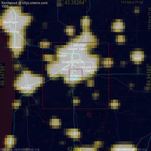
» NASA, Earths city lights 1995
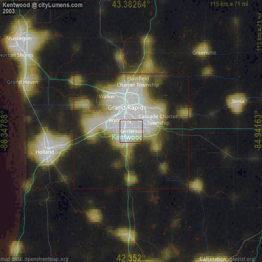
» NASA city lights 2003
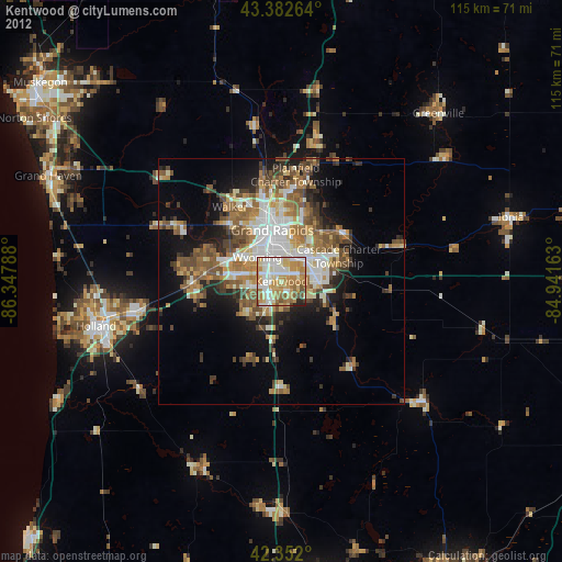
» Earth at Night: Flat Maps 2012, 2016