Findlay night lights from space
Night Light of Findlay (Ohio) from space (United States) Src. Average luminocity for 10x10km area is 60.8044% and for 50x50km: 7.0592%.
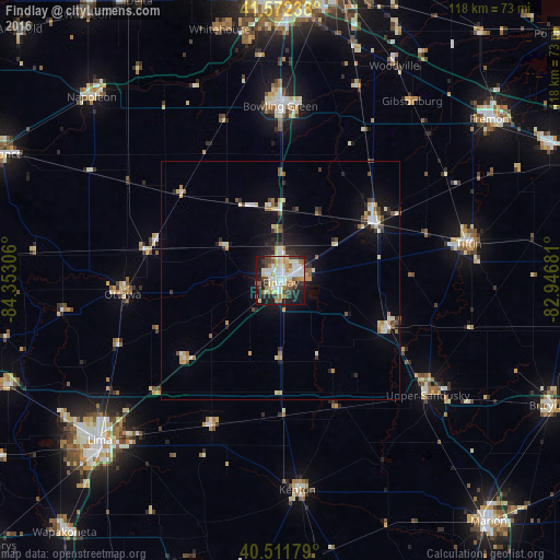
Analysis of Findlay night lights 2016
Square area 10x10 km:
 15.31%
90-99
14.63%80-89
7.82%70-79
9.35%60-69
6.97%50-59
4.93%40-49
7.31%30-39
5.78%20-29
13.61%10-19
14.12%0-9
0.17%Square area 50x50 km:
0.96%90-99
1.22%80-89
0.88%70-79
0.94%60-69
0.76%50-59
0.66%40-49
0.75%30-39
0.89%20-29
1.61%10-19
4.68%0-9
86.63%Clear (daylight) street map image can be seen on geolist.org.
Map coordinates:
41° 34' 20.6" North, 84° 21' 11" West
41° 2' 39.2" North, 83° 38' 59.7" West
40° 30' 42.4" North, 82° 56' 48.5" West
Some cities around Findlay sort by population:
• Lima
50.9 km =31.6 mi,  228°
228°
• Bowling Green
36.8 km =22.9 mi,  359°
359°
• Tiffin
40.3 km =25 mi,  78°
78°
• Fostoria
23.2 km =14.4 mi,  57°
57°
• Kenton
44.3 km =27.5 mi,  175°
175°
• Upper Sandusky
39.2 km =24.4 mi,  127°
127°
• Ada
33.8 km =21 mi,  205°
205°
• Waterville
51.1 km =31.8 mi,  353°
353°
5153924 (p: 41,149)
Sources (retrieved 2019-11-25):
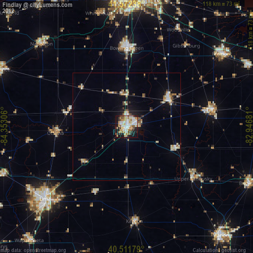
» Earth at Night: Flat Maps 2012, 2016